The National Geologic Map Database is migrating to a new infrastructure. We apologize for any service disruptions during this process.
|
|---|


- Usage in publication:
-
- Quinnimont shale*
- Modifications:
-
- Original reference
- Dominant lithology:
-
- Shale
- AAPG geologic province:
-
- Appalachian basin
Summary:
Quinnimont shale [of Pottsville group]. Shale with thin beds of sandstone and a few coal seams called the Horsepen group. Quinnimont coal is basal bed. Underlies Raleigh sandstone and overlies Clark formation. Thickness 300 feet. [Age is Pennsylvanian.]
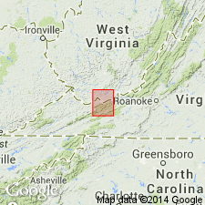
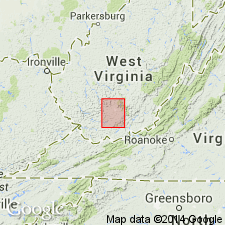
Named from exposures at Quinnimont, Fayette Co., southern WV. Extends into southwestern VA.
Source: Publication; US geologic names lexicon (USGS Bull. 896, p. 1761).
- Usage in publication:
-
- Quinnimont shale*
- Modifications:
-
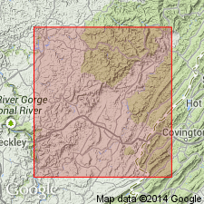
- Areal extent
- AAPG geologic province:
-
- Appalachian basin
Summary:
Quinnimont shale of Pottsville group. Sandy shale, 180 to 225 feet thick. Includes Beckley coal at top and Quinnimont coal at base. Underlies Raleigh sandstone and overlies Thurmond formation (=Clark and Pocahontas formations of Pocahontas folio). Age is Pennsylvanian.
Source: Publication; US geologic names lexicon (USGS Bull. 896, p. 1761).
- Usage in publication:
-
- Quinnimont shale
- Modifications:
-
- Revised
- AAPG geologic province:
-
- Appalachian basin
Summary:
Pg. 216, 238. Quinnimont shale of New River group. Dark-gray siliceous to argillaceous laminated lenticular
sandstone 5 to 40 feet thick. Underlies Quinnimont sandstone; overlies Fire Creek coal [= †Quinnimont coal group]. Age is Early Pennsylvanian (Pottsville).
Source: US geologic names lexicon (USGS Bull. 1200, p. 3181-3182).

- Usage in publication:
-
- Quinnimont shale member*
- Modifications:
-
- Overview
- AAPG geologic province:
-
- Appalachian basin
Summary:
Quinnimont shale member of New River formation. The USGS currently [ca. 1960] classifies the Quinnimont shale as a member of New River formation on basis of study now in progress [see USGS Prof. Paper 454-K, 1964]. Age is Early Pennsylvanian. Recognized in southern West Virginia and southwestern Virginia.
Source: US geologic names lexicon (USGS Bull. 1200, p. 3181-3182).
For more information, please contact Nancy Stamm, Geologic Names Committee Secretary.
Asterisk (*) indicates published by U.S. Geological Survey authors.
"No current usage" (†) implies that a name has been abandoned or has fallen into disuse. Former usage and, if known, replacement name given in parentheses ( ).
Slash (/) indicates name conflicts with nomenclatural guidelines (CSN, 1933; ACSN, 1961, 1970; NACSN, 1983, 2005, 2021). May be explained within brackets ([ ]).