

- Usage in publication:
-
- Quealy Formation*
- Modifications:
-
- Named
- Dominant lithology:
-
- Sandstone
- Mudstone
- AAPG geologic province:
-
- Green River basin
Summary:
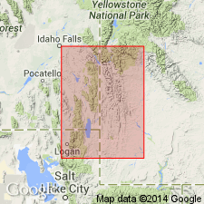
Named for exposures 1 1/4 mi south of Quealy Reservoir, Cokeville quad. Type section designated at SE1/4 sec 35 and SW1/4 sec 36, T25N, R119W, Lincoln Co, WY in the Greater Green River basin. A section about 1,200 ft thick 1 mi north of the reservoir between the Cokeville and Sage Junction Formations designated a reference section. Is a red and variegated pastel-tinted mudstone and pink, gray, and tan sandstone. Is about 1,000 ft thick in the northern part of the Cokeville quad; grades out southward and is absent south of the latitude of Cokeville. Intertongues with underlying Cokeville Formation (a new name), and with the overlying Sage Junction Formation (a new name). Is probably a southward-extending tongue of Wayan Formation, and is probably equivalent to the lower part of Aspen Shale. Its Early Cretaceous age assignment based on ages of fossiliferous strata above and below it. Fossil trunks of TEMPSKYA are found in Quealy at numerous localities.
Source: GNU records (USGS DDS-6; Denver GNULEX).
For more information, please contact Nancy Stamm, Geologic Names Committee Secretary.
Asterisk (*) indicates published by U.S. Geological Survey authors.
"No current usage" (†) implies that a name has been abandoned or has fallen into disuse. Former usage and, if known, replacement name given in parentheses ( ).
Slash (/) indicates name conflicts with nomenclatural guidelines (CSN, 1933; ACSN, 1961, 1970; NACSN, 1983, 2005, 2021). May be explained within brackets ([ ]).