The National Geologic Map Database is migrating to a new infrastructure. We apologize for any service disruptions during this process.
|
|---|


- Usage in publication:
-
- Quapaw Limestone*
- Modifications:
-
- Named
- Dominant lithology:
-
- Limestone
- AAPG geologic province:
-
- Chautauqua platform
- Cherokee basin
Summary:
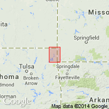
Named as a formation for the town of Quapaw, Ottawa Co, OK. Type locality given as 3 mi southeast of Quapaw. Area of this report is in Picher field, a mining district which straddles OK-KS State line just a few miles west of MO State line on Chautauqua platform and Cherokee basin. Consists of medium- to coarse-grained, light-gray to brownish-gray crinoidal limestone, poorly stratified in beds 2-12 inches thick. Is 0-31+ ft thick in the mining field. Probably separated from the underlying Boone Formation by a diastemic break; overlain unconformably by the Hindsville Limestone. Fossils (listed): bryozoans, brachiopods, pelecypods, gastropods, trilobites, crinoids, echinoids, fish remains. Isopach map; geologic map; cross section; stratigraphic table. Of Late Mississippian, Meramec age.
Source: GNU records (USGS DDS-6; Denver GNULEX).
For more information, please contact Nancy Stamm, Geologic Names Committee Secretary.
Asterisk (*) indicates published by U.S. Geological Survey authors.
"No current usage" (†) implies that a name has been abandoned or has fallen into disuse. Former usage and, if known, replacement name given in parentheses ( ).
Slash (/) indicates name conflicts with nomenclatural guidelines (CSN, 1933; ACSN, 1961, 1970; NACSN, 1983, 2005, 2021). May be explained within brackets ([ ]).