The National Geologic Map Database is migrating to a new infrastructure. We apologize for any service disruptions during this process.
|
|---|


- Usage in publication:
-
- Quail porphyry*
- Modifications:
-
- First used
- Dominant lithology:
-
- Porphyry
- AAPG geologic province:
-
- Eagle basin
Summary:
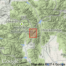
First published use of name. Intent to name and designation of type not stated. [Name derived? from Quail group of mines.] Is a hornblende rock in which quartz has disappeared as a noticeable megascopic constituent. Carries 61 to 63 percent silica but quartz confined to groundmass, except for occasional occurrence in rounded grains. Is dark-green in color because the darker silicates are developed in the groundmass. Forms small sheets and dikes at head of McNulty Gulch. Largest sheet occurs on East Sheep Mountain and on northeast slope of Elk Ridge. Isolated mass on Tucker Mountain. Geologic map. The localities mentioned above are in Summit and Eagle Cos, CO in the Eagle basin. Of comparatively recent age. Erupted prior to orographic movement that produced Mosquito fault, or post-Cretaceous. [No other statement of age.]
Source: GNU records (USGS DDS-6; Denver GNULEX).
- Usage in publication:
-
- Quail Porphyry*
- Modifications:
-
- Overview
- Age modified
- AAPG geologic province:
-
- Eagle basin
Summary:
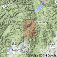
Is a quartz monzonite in composition. Has well-formed, dark green-gray phenocrysts of hornblende as much as 2 mm in dimension. Phenocrysts of sericitized and epidotized plagioclase about 2 mm diameter common. Groundmass is fine-grained quartz, orthoclase, and plagioclase. Geologic map. Occurs in district on south slope of Elk Ridge, east side of Tucker Mountain, southwest slope of Jacque Peak, along hwy south of Chalk Mountain, Summit Co, CO in the Eagle basin. Tertiary age assigned (rather than Late Cretaceous or early Tertiary as in older reports).
Source: GNU records (USGS DDS-6; Denver GNULEX).
For more information, please contact Nancy Stamm, Geologic Names Committee Secretary.
Asterisk (*) indicates published by U.S. Geological Survey authors.
"No current usage" (†) implies that a name has been abandoned or has fallen into disuse. Former usage and, if known, replacement name given in parentheses ( ).
Slash (/) indicates name conflicts with nomenclatural guidelines (CSN, 1933; ACSN, 1961, 1970; NACSN, 1983, 2005, 2021). May be explained within brackets ([ ]).