The National Geologic Map Database is migrating to a new infrastructure. We apologize for any service disruptions during this process.
|
|---|


- Usage in publication:
-
- Pyramid Peak granite
- Modifications:
-
- Named
- Dominant lithology:
-
- Granite
- AAPG geologic province:
-
- Sierra Nevada province
Summary:
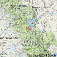
Shown on geologic sketch map of Mt. Tallac roof remnant in Fallen Leaf Lake 15' quad, El Dorado Co, CA. Intrudes Triassic(?) and Jurassic metasedimentary and metavolcanic rocks.
Source: GNU records (USGS DDS-6; Menlo GNULEX).
- Usage in publication:
-
- Pyramid Peak granite
- Modifications:
-
- Age modified
- AAPG geologic province:
-
- Sierra Nevada province
Summary:
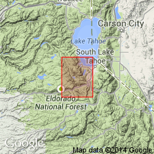
Is coarse-grained granite that crops out for 7 mi in northwest-southeast direction along crest of Crystal Range, Fallen Leaf Lake 15' quad, El Dorado Co, CA. Intrudes older diorites and gabbros. Intruded by Desolation Valley granodiorite and Wrights Lake granodiorite. Shown on map of quad as of Cretaceous age.
Source: GNU records (USGS DDS-6; Menlo GNULEX).
For more information, please contact Nancy Stamm, Geologic Names Committee Secretary.
Asterisk (*) indicates published by U.S. Geological Survey authors.
"No current usage" (†) implies that a name has been abandoned or has fallen into disuse. Former usage and, if known, replacement name given in parentheses ( ).
Slash (/) indicates name conflicts with nomenclatural guidelines (CSN, 1933; ACSN, 1961, 1970; NACSN, 1983, 2005, 2021). May be explained within brackets ([ ]).