

- Usage in publication:
-
- Purcell Branch Formation*
- Modifications:
-
- Named
- Dominant lithology:
-
- Diamict
- AAPG geologic province:
-
- Piedmont-Blue Ridge province
Summary:
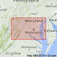
A block-in-metadiamictite melange in north-central VA is here named the Purcell Branch Formation, for Purcell Branch, Prince William Co. It consists of dark-gray metadiamictite matrix enclosing exotic blocks, several m to several hundred m in length. Rocks of the Purcell Branch are regionally metamorphosed to greenschist facies. The melange formed in a Cambrian-Ordovician back-arc basin or marginal basin that lay on the continentward side of an island arc system (Central Virginia Volcanic-Plutonic Belt) that had formed in Cambrian time. Diamictite was thrust on and across basement rocks during the Taconic Orogeny.
Source: GNU records (USGS DDS-6; Reston GNULEX).
For more information, please contact Nancy Stamm, Geologic Names Committee Secretary.
Asterisk (*) indicates published by U.S. Geological Survey authors.
"No current usage" (†) implies that a name has been abandoned or has fallen into disuse. Former usage and, if known, replacement name given in parentheses ( ).
Slash (/) indicates name conflicts with nomenclatural guidelines (CSN, 1933; ACSN, 1961, 1970; NACSN, 1983, 2005, 2021). May be explained within brackets ([ ]).