

- Usage in publication:
-
- Pumpkinvine Creek Formation
- Modifications:
-
- Named
- Dominant lithology:
-
- Amphibolite
- Gneiss
- Phyllite
- AAPG geologic province:
-
- Piedmont-Blue Ridge province
Summary:
Pumplinvine Creek Formation named in Bartow Co., northwestern GA. Consists predominantly of gray fine-grained amphibolite with thin interlayers of gneiss and phyllite. Folded and easily traceable. Thickness is >38 m. Structurally overlies informal Galts Ferry gneiss; structurally underlies Canton Schist. Occupies overturned antiform. Age is Pennsylvanian or older.
Source: GNU records (USGS DDS-6; Reston GNULEX).
- Usage in publication:
-
- Pumpkinvine Creek Formation
- Modifications:
-
- Revised
- AAPG geologic province:
-
- Piedmont-Blue Ridge province
Summary:
The Pumpkinvine Creek Formation is assigned to the New Georgia Group in the Greater Atlanta Region. In this area it contains the Galts Ferry Gneiss Member. Age is Late Proterozoic and (or) early Paleozoic.
Source: GNU records (USGS DDS-6; Reston GNULEX).
- Usage in publication:
-
- Pumpkinvine Creek Formation
- Modifications:
-
- Revised
- AAPG geologic province:
-
- Piedmont-Blue Ridge province
Summary:
In the Dahlonega gold belt the Pumpkinvine Creek Formation of the New Georgia Group contains the Barlow Gneiss Member, which is lithologically similar to and may be correlative with the Galts Ferry Gneiss Member of McConnell and Abrams (1984).
Source: GNU records (USGS DDS-6; Reston GNULEX).
- Usage in publication:
-
- Pumpkinvine Creek Formation
- Modifications:
-
- Overview
- AAPG geologic province:
-
- Piedmont-Blue Ridge province
Summary:
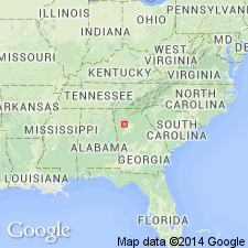
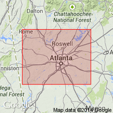
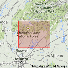
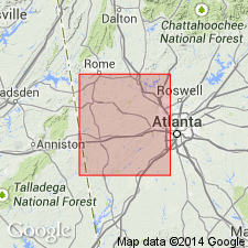
Author does not subscribe to thrust sheet stratigraphy proposed by Higgins and others (1986). He adopts the nomenclature of McConnell and Abrams (1984) with some modification. New Georgia Group is the key unit in the study area and is host for majority of the known gold deposits. Occurs in the central and northeastern part of the study area where it is exposed over a seven county area. Unit extends northeastward to the vicinity of Helen, GA. Stratigraphic order of formations composing the New Georgia is modified from McConnell and Abrams (1984). Units in probable ascending order are Mud Creek Formation, Pumpkinvine Creek Formation (and its Barlow Gneiss and Galts Ferry Gneiss Members), Canton Formation, Kellogg Creek Mafic Complex and Acworth Gneiss, which it encloses, and Univeter Formation. Lost Mountain Amphibolite Member of Univeter Formation is here changed to Lost Mountain Member.
Source: GNU records (USGS DDS-6; Reston GNULEX).

- Usage in publication:
-
- Pumpkinvine Creek†
- Modifications:
-
- Abandoned
- AAPG geologic province:
-
- Piedmont-Blue Ridge province
Summary:
The Pumpkinvine Creek Formation of McConnell (1980) and its Galts Ferry Gneiss Member of McConnell and Abrams (1984) are here abandoned because these rocks are shown to be parts of units in three different thrust sheets: the Paulding Volcanic-Plutonic Complex in the Paulding thrust sheet, the Ropes Creek Metabasalt in the Ropes Creek thrust sheet, and the Powers Ferry Formation of the Sandy Springs Group in the Sandy Springs thrust sheet.
Source: GNU records (USGS DDS-6; Reston GNULEX).
For more information, please contact Nancy Stamm, Geologic Names Committee Secretary.
Asterisk (*) indicates published by U.S. Geological Survey authors.
"No current usage" (†) implies that a name has been abandoned or has fallen into disuse. Former usage and, if known, replacement name given in parentheses ( ).
Slash (/) indicates name conflicts with nomenclatural guidelines (CSN, 1933; ACSN, 1961, 1970; NACSN, 1983, 2005, 2021). May be explained within brackets ([ ]).