The National Geologic Map Database is migrating to a new infrastructure. We apologize for any service disruptions during this process.
|
|---|


- Usage in publication:
-
- Pullen formation
- Modifications:
-
- Original reference
- Dominant lithology:
-
- Mudstone
- AAPG geologic province:
-
- Eel River basin
Summary:
Pg. 13 (fig. 3), 26-28, 44-47, 102-105, pls. Pullen formation of Wildcat group. Diatomaceous mudstone with local basal sandstone. Thickness 600 to 1,100 feet. Thins from its southern outcrop northward and is overlapped by younger Tertiary beds; thins to south and east and is overlapped by Eel River formation (new) of Wildcat group. Overlies Yager formation (new) with angular unconformity. Fossils [listed], notably mollusks SPONDYLUS n. sp. and ANADARA cf. OSMONTI (Dall). Age is late Miocene to early Pliocene.
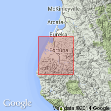
Type section: along west bank of Eel River near Scotia, Humboldt Co., northwestern CA. Named from exposures at Pullen Ranch on Price Creek.
Source: Publication; US geologic names lexicon (USGS Bull. 1200, p. 3154-3155).
For more information, please contact Nancy Stamm, Geologic Names Committee Secretary.
Asterisk (*) indicates published by U.S. Geological Survey authors.
"No current usage" (†) implies that a name has been abandoned or has fallen into disuse. Former usage and, if known, replacement name given in parentheses ( ).
Slash (/) indicates name conflicts with nomenclatural guidelines (CSN, 1933; ACSN, 1961, 1970; NACSN, 1983, 2005, 2021). May be explained within brackets ([ ]).