- Usage in publication:
-
- Puddle Springs Arkose Member*
- Modifications:
-
- Named
- Dominant lithology:
-
- Sandstone
- Conglomerate
- AAPG geologic province:
-
- Wind River basin
Summary:
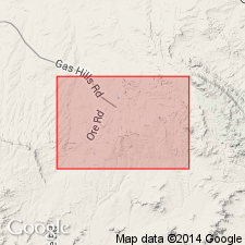
Named as middle member of Wind River Formation for exposures near Puddle Springs ranch, south-central Wind River basin, Fremont Co, WY. Formerly called upper coarse-grained facies of Wind River. Type area designated as bounded on west by Puddle Springs Ranch and Coyote Springs, on east by Willow Springs Draw, on north by sec 19, T33N, R90W, and on south by sec 8, T32N, R90W. Consists of massive coarse to very coarse grained arkosic sandstone and granite granule-to-boulder conglomerate. Has thin beds of fine grained feldspathic to arkosic sandstone, siltstone, claystone and sparse beds of carbonaceous shale. Has a maximum thickness of 400 to 800 ft. Overlies lower fine-grained variegated member; underlies upper transition zone. Is of latest early or Lost Cabin age.
Source: GNU records (USGS DDS-6; Denver GNULEX).
For more information, please contact Nancy Stamm, Geologic Names Committee Secretary.
Asterisk (*) indicates published by U.S. Geological Survey authors.
"No current usage" (†) implies that a name has been abandoned or has fallen into disuse. Former usage and, if known, replacement name given in parentheses ( ).
Slash (/) indicates name conflicts with nomenclatural guidelines (CSN, 1933; ACSN, 1961, 1970; NACSN, 1983, 2005, 2021). May be explained within brackets ([ ]).

