The National Geologic Map Database is migrating to a new infrastructure. We apologize for any service disruptions during this process.
|
|---|


- Usage in publication:
-
- Pruett Formation
- Modifications:
-
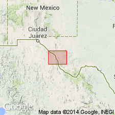
- Areal extent
- AAPG geologic province:
-
- Permian basin
Summary:
Pruett Formation mapped together with Duff Tuff in the Cuesta del Burro area in the southeastern part of the mapped area, Presidio Co, west TX in the Permian basin. Assigned to Buck Hill Group. The Duff and Pruett (undivided) consists of rhyolitic tuff and intercalated tuffaceous clay, silt, sandstone, and conglomerate, moderate to well indurated, white, gray, red, and yellow. Thickness of Duff Tuff and Pruett Formation (undivided) is as much as 1,500 ft. [Author states that correlation of volcanic rocks from area to area on Marfa sheet is uncertain--little attempt is made to correlate between areas. The rocks are described by area.] Is of Oligocene age. Geologic map.
Source: GNU records (USGS DDS-6; Denver GNULEX).
For more information, please contact Nancy Stamm, Geologic Names Committee Secretary.
Asterisk (*) indicates published by U.S. Geological Survey authors.
"No current usage" (†) implies that a name has been abandoned or has fallen into disuse. Former usage and, if known, replacement name given in parentheses ( ).
Slash (/) indicates name conflicts with nomenclatural guidelines (CSN, 1933; ACSN, 1961, 1970; NACSN, 1983, 2005, 2021). May be explained within brackets ([ ]).