

- Usage in publication:
-
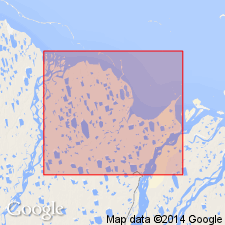
- Prudhoe Bay Group
- Modifications:
-
- Named
- AAPG geologic province:
-
- Alaska Northern region
Summary:
Generalized stratigraphic column of Prudhoe Bay field, North Slope, shows Prudhoe Bay Group includes (ascending): Sadlerochit Formation, Shublik Formation and Sag River Formation. Overlies Lisburne Group. Underlies Kingak Formation. Age given as Permian and Triassic. [Prudhoe Bay sand group/ group used informally by Basye (1969, Oil and Gas Journal v.67 no.47 p.51)]
Source: GNU records (USGS DDS-6; Menlo GNULEX).
For more information, please contact Nancy Stamm, Geologic Names Committee Secretary.
Asterisk (*) indicates published by U.S. Geological Survey authors.
"No current usage" (†) implies that a name has been abandoned or has fallen into disuse. Former usage and, if known, replacement name given in parentheses ( ).
Slash (/) indicates name conflicts with nomenclatural guidelines (CSN, 1933; ACSN, 1961, 1970; NACSN, 1983, 2005, 2021). May be explained within brackets ([ ]).