

- Usage in publication:
-
- Providence sand member
- Modifications:
-
- Named
- Dominant lithology:
-
- Sand
- AAPG geologic province:
-
- South Georgia sedimentary province
Summary:
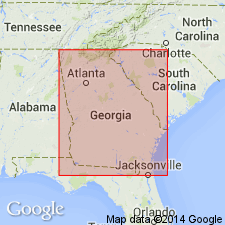
Providence sand is composed of unconsolidated yellow, white, red, and purplish cross-bedded sand, 150 ft thick, forming top subdivision of Ripley formation in Chattahoochee, Stewart, Marion, and Quitman Cos. Overlies Renfroes marl, through gradual transition. Underlies bright-red sand, in which, at a few localities, boulders of fossiliferous siliceous limestone are found, and which are probably Eocene. Age is Late Cretaceous.
Source: GNU records (USGS DDS-6; Reston GNULEX).
- Usage in publication:
-
- Providence sand*
- Modifications:
-
- Revised
- AAPG geologic province:
-
- South Georgia sedimentary province
Summary:
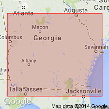
Rank of Providence raised to formation status. Unconformably overlies Ripley formation and transgresses across it in its extension to northeast in GA. Overlapped by Paleocene Clayton formation east of Flint River.
Source: GNU records (USGS DDS-6; Reston GNULEX).
- Usage in publication:
-
- Providence sand*
- Modifications:
-
- Revised
- AAPG geologic province:
-
- South Georgia sedimentary province
- Mid-Gulf Coast basin
Summary:
Pg. 69-83, pls. 1, 2; 1950, USGS Oil and Gas Inv. Prelim. Map OM-105; 1948, Southeastern Geol. Soc. Field Trip Gdbk, no. 6, Cret. east-central AL, p. 44, 51-53. Providence sand. Subdivided to include Perote member (new) in lower part. At type locality of Providence, the variegated coarse sand of upper unnamed member is about 144 feet thick and overlies about 40 feet of fossiliferous fine sand of Perote member. In Alabama grades laterally westward into Prairie Bluff chalk. In Alabama, Providence included in Selma group. [Age is Late Cretaceous.]
Source: US geologic names lexicon (USGS Bull. 1200, p. 3145-3146).
- Usage in publication:
-
- Providence Formation
- Modifications:
-
- Revised
- AAPG geologic province:
-
- South Georgia sedimentary province
- Mid-Gulf Coast basin
Summary:
Unit is a "multilithologic, unconformity-bounded formation." The Providence can be traced from central AL to western GA. Internal unconformity divides unit into informal upper and lower members. Underlies Clayton Formation; overlies Ripley Formation. Age is Late Cretaceous (middle and upper Maastrichtian.) [Use of the term Formation rather than Sand was not accepted for USGS usage during manuscript review on 11/05/85.]
Source: GNU records (USGS DDS-6; Reston GNULEX).

- Usage in publication:
-
- Providence Sand
- Modifications:
-
- Revised
- AAPG geologic province:
-
- South Georgia sedimentary province
Summary:
Providence sand is assigned to the newly named Fort Valley Group, which includes sand and kaolinitic deposits of coastal marine origin in the Fort Valley Plateau region of central Coastal Plain of GA. The Providence overlies the Nakomis Formation (new) and underlies the Marshallville Formation (new).
Source: GNU records (USGS DDS-6; Reston GNULEX).
- Usage in publication:
-
- Providence Sand*
- Modifications:
-
- Biostratigraphic dating
- AAPG geologic province:
-
- South Georgia sedimentary province
Summary:
Providence Sand shown as Late Cretaceous (middle and late Maastrichtian) on fig. 1. Middle and late Maastrichtian age based in part on CRASSATELLA VADOSA collected from Clay Co., western GA; BATHYTORMUS PTEROPSIS collected from Clay and Quitman Cos., western GA, and Barbour and Henry Cos., eastern AL; and SCAMBULA PERPLANA collected from Clay Co.
Source: GNU records (USGS DDS-6; Reston GNULEX).
For more information, please contact Nancy Stamm, Geologic Names Committee Secretary.
Asterisk (*) indicates published by U.S. Geological Survey authors.
"No current usage" (†) implies that a name has been abandoned or has fallen into disuse. Former usage and, if known, replacement name given in parentheses ( ).
Slash (/) indicates name conflicts with nomenclatural guidelines (CSN, 1933; ACSN, 1961, 1970; NACSN, 1983, 2005, 2021). May be explained within brackets ([ ]).