The National Geologic Map Database is migrating to a new infrastructure. We apologize for any service disruptions during this process.
|
|---|


- Usage in publication:
-
- Promontory Soil*
- Modifications:
-
- Named
- Dominant lithology:
-
- Soil
- AAPG geologic province:
-
- Great Basin province
Summary:
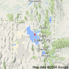
The soil that typically separates the Alpine and Bonneville Formations is named the Promontory Soil for Promontory Point. Its type locality is a bench face in the north central part of the Little Valley pit in SE1/4 NE1/4 sec 1, T6N, R6W at about 4,825 +/-10 ft altitude, Box Elder Co, UT in the Great Basin province. Is a Brown soil, or locally a Calcisol. The B horizon is 1 to 2 ft thick where least eroded, deep brown, slightly clayey, structureless or weakly prismatic-blocky. The underlying Cca horizon is about 2 1/2 ft thick, has moderately strong to strong calcium carbonate cementation, and is usually the only part of the soil that is preserved. Where both soils preserved, they are usually separated by alluvium or colluvium. Of Pleistocene age; formed between 25,0900 and 30,000 years ago.
Source: GNU records (USGS DDS-6; Denver GNULEX).
- Usage in publication:
-
- Promontory Geosol
- Modifications:
-
- Revised
- AAPG geologic province:
-
- Great Basin province
Summary:
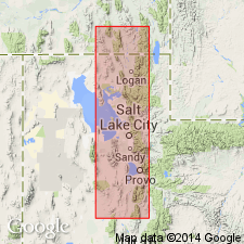
Term "Geosol" used instead of "Soil," the rank term used previously in accordance with recommendation in 1983 edition of the North American Stratigraphic Code. Promontory Geosol revised in that it is developed on the unconformable surface at the top of the newly named Little Valley Alloformation and beneath the Bonneville Alloformation in the Little Valley area, Box Elder Co, UT in the Great Basin province.
Source: GNU records (USGS DDS-6; Denver GNULEX).
- Usage in publication:
-
- Promontory Geosol*
- Modifications:
-
- Overview
- AAPG geologic province:
-
- Wasatch uplift
Summary:
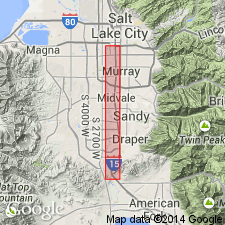
Has a well-developed, cumulic Bw/Bt, K/Ck profile in the Geneva quarry, Point of Mountain area, west end of eastern Traverse Mountains between Salt Lake and Utah valleys, UT on the Wasatch uplift. Upper part is formed in a silty clay loam with scattered pebbles probably derived from sand and gravel of Little Valley age. Soil profile consists of a color Bar weak argillic B horizon 55 cm thick, argillic B horizon 40 cm thick, K horizon 40 cm thick, and a Ck horizon 35+ cm thick. Variably eroded; locally removed. Based on regional rates of secondary calcium carbonate accumulation in post-Bonneville soils, is estimated to have formed over 100,000 +/-20,000 yr. Buried about 20,000 yr by transgressive deposits of Bonneville lake cycle. Separates the Little Valley Alloformation from the Bonneville Alloformation. Cross section.
Source: GNU records (USGS DDS-6; Denver GNULEX).
For more information, please contact Nancy Stamm, Geologic Names Committee Secretary.
Asterisk (*) indicates published by U.S. Geological Survey authors.
"No current usage" (†) implies that a name has been abandoned or has fallen into disuse. Former usage and, if known, replacement name given in parentheses ( ).
Slash (/) indicates name conflicts with nomenclatural guidelines (CSN, 1933; ACSN, 1961, 1970; NACSN, 1983, 2005, 2021). May be explained within brackets ([ ]).