- Usage in publication:
-
- Proctor limestone
- Modifications:
-
- Original reference
- Dominant lithology:
-
- Limestone
- AAPG geologic province:
-
- Ozark uplift
Summary:
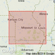
Pg. 331, 366. Proctor limestone. Magnesiam limestones, in massive layers 5 to 10 feet thick, not specially distinguishable from overlying Osage limestone, though perhaps less cherty. Overlain by Cole Camp sandstone. [Oldest formation listed in central Missouri.] [Age is Late Cambrian.]
[Named from exposures on Proctor Creek, Morgan Co., central MO.]
Source: US geologic names lexicon (USGS Bull. 896, p. 1734).

- Usage in publication:
-
- Proctor limestone
- Modifications:
-
- Overview
- Revised
- AAPG geologic province:
-
- Ozark uplift
Summary:
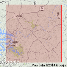
Revised in that Proctor unconformably underlies Gunter sandstone (first used). Proctor is oldest exposed unit in Miller Co, MO, Ozark uplift. Isolated outcrops mapped along Osage River; also outcrops along Humphreys Creek near Ramsey Post Office in sec 23, T40N, R13W. More extensive outcrops occur in adjacent Camden and Morgan Cos. Greatest thickness is 57 ft along Osage River between Tuscumbia and Bagnell. Measured section. Assigned probable Cambrian age.
Source: GNU records (USGS DDS-6; Denver GNULEX).

- Usage in publication:
-
- Proctor formation*
- Modifications:
-
- Areal extent
- AAPG geologic province:
-
- Ozark uplift
Summary:
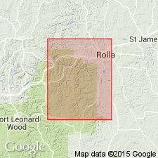
Proctor formation of Miller County and to west [in Missouri] underlies Gunter sandstone member of Gasconade formation and probably is included in upper Eminence. The exposure of Proctor formation in basin of Osage River occur chiefly in bluffs. They are noncherty, entirely without fossils, and resemble the bluff exposures near top of Eminence at type locality, which also underlies, probably unconformably, 4 or 5 feet of sandstone forming basal bed of Gasonade formation.
Source: US geologic names lexicon (USGS Bull. 896, p. 1734).
For more information, please contact Nancy Stamm, Geologic Names Committee Secretary.
Asterisk (*) indicates published by U.S. Geological Survey authors.
"No current usage" (†) implies that a name has been abandoned or has fallen into disuse. Former usage and, if known, replacement name given in parentheses ( ).
Slash (/) indicates name conflicts with nomenclatural guidelines (CSN, 1933; ACSN, 1961, 1970; NACSN, 1983, 2005, 2021). May be explained within brackets ([ ]).

