The National Geologic Map Database is migrating to a new infrastructure. We apologize for any service disruptions during this process.
|
|---|


- Usage in publication:
-
- Principio Creek Member*
- Modifications:
-
- Named
- Dominant lithology:
-
- Schist
- Andesite
- AAPG geologic province:
-
- Piedmont-Blue Ridge province
Summary:
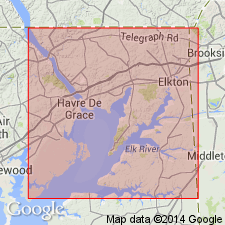
Principio Creek Member named in this report as one of eight members of James Run Formation of Glenarm Group. Unit is dark-gray to dark-green, medium-grained biotite-feldspar schist, possibly meta-andesite, with relict plagioclase phenocrysts, epidosite inclusions, and metavolcanic rocks. Thickness 610 m. Underlies unnamed felsite member of James Run Formation; probably partly equivalent to parts of Happy Valley Branch Member and parts of Port Deposit Gneiss. Age is early Paleozoic.
Source: GNU records (USGS DDS-6; Reston GNULEX).
For more information, please contact Nancy Stamm, Geologic Names Committee Secretary.
Asterisk (*) indicates published by U.S. Geological Survey authors.
"No current usage" (†) implies that a name has been abandoned or has fallen into disuse. Former usage and, if known, replacement name given in parentheses ( ).
Slash (/) indicates name conflicts with nomenclatural guidelines (CSN, 1933; ACSN, 1961, 1970; NACSN, 1983, 2005, 2021). May be explained within brackets ([ ]).