The National Geologic Map Database is migrating to a new infrastructure. We apologize for any service disruptions during this process.
|
|---|


- Usage in publication:
-
- Princess Anne terrace and formation
- Modifications:
-
- Original reference
- Dominant lithology:
-
- Sand
- AAPG geologic province:
-
- Atlantic Coast basin
Summary:
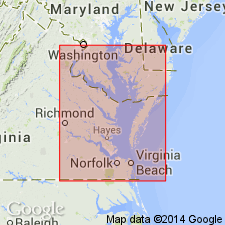
Pg. 81+. L.W. Stephenson (North Carolina Geol. Survey Bull., no. 3, 1912) included in Pamlico terrace the whole area of Coastal Plain of North Carolina east of Chowan-Dismal Swamp scarp and below 25 feet elevation. From recent topographic maps of Coastal Plain of Virginia, it is clear there is a distinct terrace about 12 feet above sea level, which is separated from the 25-foot terrace by a well-marked scarp, which is prominent in Cape Henry quadrangle east of Norfolk. It appears from maps to be well developed on seaward side of Eastern Shore. This low terrace and formation are here designated Princess Anne terrace and formation because of their typical occurrence at village of Princess Anne, in Princess Anne County, [eastern] Virginia. Here the terrace forms a rounded reentrant extending into type area of Dismal Swamp terrace. The scarp that separates Princess Anne and Dismal Swamp terraces is well developed east and southeast of Barney's Corner, Princess Anne County. Thickness 15 to 20 feet. Is of marine origin. [On p. 105 he says largely marine.] [Age is Pleistocene.]
Source: US geologic names lexicon (USGS Bull. 896, p. 1732).
- Usage in publication:
-
- "Princess Anne" terrace
- Modifications:
-
- Not used
- AAPG geologic province:
-
- Atlantic Coast basin
Summary:
Pg. 513. Wentworth separated "Princess Anne" terrace from "Dismal Swamp" terrace because of presence of a low scarp above 12 feet in neighborhood of Norfolk and elsewhere in Virginia. Although no one can dispute the existence of this scarp (which is plainly shown on Cape Henry quadrangle) opinions may differ as to whether it is really a sea cliff formed at a stage of sea about 12 feet above present sea level. Evidence at present appears inconclusive.
Source: US geologic names lexicon (USGS Bull. 896, p. 1732).

- Usage in publication:
-
- Princess Anne formation*
- Modifications:
-
- Overview
- AAPG geologic province:
-
- Atlantic Coast basin
Summary:
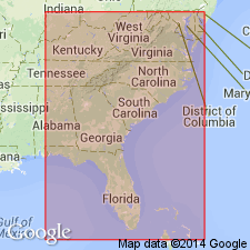
Princess Anne formation of Columbia group. Recognized in coastal plain of Maryland and Virginia. The terrace formations of Columbia group now recognized by Cooke from Delaware to southern Georgia and probably into Florida, are enumerated herein under Columbia group. Age is Pleistocene.
Source: US geologic names lexicon (USGS Bull. 896, p. 1732).
- Usage in publication:
-
- Princess Anne†
- Modifications:
-
- Abandoned
- AAPG geologic province:
-
- Atlantic Coast basin
- South GA-North FL sedimentary province
Summary:
Concept of Princess Anne Formation is invalid and should be abandoned in the lithostratigraphic sense along with Talbot, Silver Bluff, Pamlico, Penholoway, Wicomico, Sunderland, Coharie, and Brandywine Formations. Name is retained as a terrace. Satilla Formation (reinstated and redefined) directly underlies the Holocene-Silver Bluff, Princess Anne, and Pamlico terraces in GA, SC, and FL.
Source: GNU records (USGS DDS-6; Reston GNULEX).
For more information, please contact Nancy Stamm, Geologic Names Committee Secretary.
Asterisk (*) indicates published by U.S. Geological Survey authors.
"No current usage" (†) implies that a name has been abandoned or has fallen into disuse. Former usage and, if known, replacement name given in parentheses ( ).
Slash (/) indicates name conflicts with nomenclatural guidelines (CSN, 1933; ACSN, 1961, 1970; NACSN, 1983, 2005, 2021). May be explained within brackets ([ ]).