The National Geologic Map Database is migrating to a new infrastructure. We apologize for any service disruptions during this process.
|
|---|


- Usage in publication:
-
- Preuss sandstone*
- Modifications:
-
- Named
- Dominant lithology:
-
- Sandstone
- AAPG geologic province:
-
- Wasatch uplift
Summary:
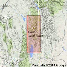
Named for Preuss Creek in the northeastern part of the Montpelier quad, about 12 mi northeast of Montpelier, Caribou Co, ID on the Wasatch uplift. No type locality designated. Consists of very fine, even-grained, pale-red-gray to deep dull-red, calcareous and somewhat calcareous, sandstone in beds less than 6 in thick. Is 1,300 ft thick in Thomas Fork Valley. Unconformably overlies Twin Creek limestone; underlies Stump sandstone (new). Assigned to the Jurassic.
Source: GNU records (USGS DDS-6; Denver GNULEX).
- Usage in publication:
-
- Preuss sandstone*
- Modifications:
-
- Overview
- Revised
- AAPG geologic province:
-
- Snake River basin
Summary:
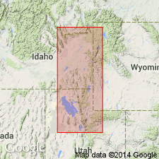
Marine origin of Preuss suggested by even grain size, even bedding, oscillation ripple marks, and bedded salt. Occurs mainly in ID-WY border and in north-central UT from southern end of Teton Mountains to Thistle, UT. Ranges in thickness from: 280 ft in Fall Creek to 1,040 ft in Wolverine Canyon in ID; 109 ft at Cabin Creek to 1,300 ft at Thomas Fork Canyon in WY; from 670 ft at Lake Fork to 1,270 ft at Monks Hollow in UT. A limestone 193 ft thick in Wolverine Canyon named Wolverine Canyon limestone member in this report. Wolverine Canyon lies 240 ft above base of Preuss and 600 ft below top. Considered to be middle Callovian or Late Jurassic in age. On basis of stratigraphic position is correlated with Twist Gulch formation of central UT, Entrada sandstone of Colorado Plateau, Lak member of Sundance formation of WY, SD, MT, and ND.
Source: GNU records (USGS DDS-6; Denver GNULEX).
- Usage in publication:
-
- Preuss Sandstone*
- Modifications:
-
- Revised
- AAPG geologic province:
-
- Green River basin
- Snake River basin
- Yellowstone province
- Uinta basin
- Uinta uplift
- Wasatch uplift
Summary:
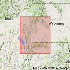
Overlies newly named Giraffe Creek Member of Twin Creek Limestone in western WY (Yellowstone province, Greater Green River basin), eastern ID (Snake River basin) and northern UT (Wasatch uplift, Uinta basin, Uinta uplift). Of Callovian, Late Jurassic age. Correlation chart. Cross sections.
Source: GNU records (USGS DDS-6; Denver GNULEX).

- Usage in publication:
-
- Preuss Sandstone*
- Modifications:
-
- Age modified
- AAPG geologic province:
-
- Uinta basin
- Wasatch uplift
- Uinta uplift
- Snake River basin
Summary:
Age changed from Late Jurassic to Callovian Stage of the Middle Jurassic because Callovian Stage removed from Upper Jurassic Series and placed in Middle Jurassic Series, as its uppermost stage. Crops out in same area as Twin Creek Limestone. Lower contact with Twin Creek is gradational. Is overlain in sharp contact or by unconformity by Stump Sandstone or by Curtis Formation. Identified in Snake River basin of ID and in Uinta basin, Uinta uplift, and Wasatch uplift, UT. Includes Wolverine Canyon Limestone Member. Contains marine fossils (pelecypods, gastropods, corals, some crinoids).
Source: GNU records (USGS DDS-6; Denver GNULEX).
For more information, please contact Nancy Stamm, Geologic Names Committee Secretary.
Asterisk (*) indicates published by U.S. Geological Survey authors.
"No current usage" (†) implies that a name has been abandoned or has fallen into disuse. Former usage and, if known, replacement name given in parentheses ( ).
Slash (/) indicates name conflicts with nomenclatural guidelines (CSN, 1933; ACSN, 1961, 1970; NACSN, 1983, 2005, 2021). May be explained within brackets ([ ]).