- Usage in publication:
-
- Pozas Formation*
- Modifications:
-
- Named
- Dominant lithology:
-
- Tuff
- Breccia
- AAPG geologic province:
-
- Caribbean region
Summary:
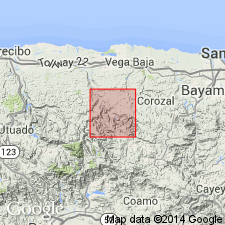
The informal "Pozas" formation of Weaver (1964) is here named formally. These rocks were previously referred to as the Coamo Formation by Berryhill (1961). Consists of pyroclastic tuff, lapillistone, and volcanic breccia. At the base is a lava lens named the Minguillo Lava Member. Over this is the Blacho Tuff Member, a stratified sequence of ash-flow deposits and fluvial conglomerate. An informal upper breccia member overlies the Blacho. Pozas sharply overlies the Manicaboa Formation or is in fault contact with older rocks; top is eroded. Thickness is 1,400 m. Age is Late Cretaceous (Maastrichtian) based on rudistids in similar rocks.
Source: GNU records (USGS DDS-6; Reston GNULEX).
- Usage in publication:
-
- Pozas Formation*
- Modifications:
-
- Revised
- AAPG geologic province:
-
- Caribbean region
Summary:
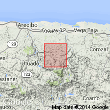
Most of the Pozas Formation in the Florida quadrangle is equivalent to Berryhill's (1965) upper breccia member. Named units are the Minguillo Lava Member, exposed in a small area at the east edge, Blacho Tuff Member, and the Flor de Alba Limestone Lentil, here named, exposed in the southeast part of the Florida quadrangle. Pelecypods, gastropods, and corals in the Flor de Alba Member are dated as Late Cretaceous (Campanian and Maastrichtian).
Source: GNU records (USGS DDS-6; Reston GNULEX).
- Usage in publication:
-
- Pozas Formation*
- Modifications:
-
- Revised
- AAPG geologic province:
-
- Caribbean region
Summary:
Mapping in the Orocovis quadrangle has shown that the Pozas Formation of the Ciales quadrangle is continuous with the so-called Coamo Formation of the Barranquitas quadrangle; therefore those rocks in the northwest Barranquitas are reassigned to the Pozas. The Rio Bauta Member is named at the base of Pozas in the Orocovis quadrangle. The Botijas Limestone and Reves Members are reassigned from the Coamo to the Pozas. Age is late Campanian to early Maastrichtian.
Source: GNU records (USGS DDS-6; Reston GNULEX).
- Usage in publication:
-
- Pozas Formation*
- Modifications:
-
- Revised
- Age modified
- Biostratigraphic dating
- AAPG geologic province:
-
- Caribbean region
Summary:
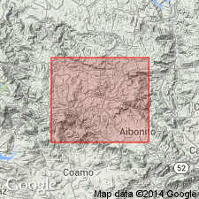
Original mapping of Pozas Formation in Barranquitas quad, PR, may need to be revised because paleontological evidence suggest that three units, rather than two, are present, and that the Botijas Limestone Member is more likely Campanian than Maastrichtian. At localities 8-12 (roadcuts of PR Rte 772, on north valley wall of Rio Canabon, 1.85 km (airline) east-southeast of road intersection, Botijas, Barrio Canabon, Municipio de Barranquitas), limestone previously called Botijas Limestone Member by Briggs and Gelabert (1962), and considered by them to be continuous with Botijas elsewhere in the quad, is faunally different from Botijas Limestone Member. At section represented by localities 8-12, common presence of large specimens of TROCHACTAEON (T.) WOODSI in units 2-6 of the section in distinct contrast to its total absence at localities 4-7 elsewhere in quad. Further fieldwork is needed to demonstrate whether these differences are stratigraphic or environmentally related. Age of Botijas Limestone Member is here changed from Maastrichtian to Campanian based on fossil evidence. Report contains correlation charts, measured sections, and fossil descriptions.
Source: GNU records (USGS DDS-6; Reston GNULEX).
- Usage in publication:
-
- Pozas Formation*
- Modifications:
-
- Overview
- AAPG geologic province:
-
- Caribbean region
Summary:
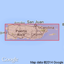
The Pozas Formation occurs in central Puerto Rico and consists of volcanic breccia, conglomerate, tuff, volcanic sandstone, and siltstone, interbedded locally with ash-flow tuff, lava, and limestone lenses. Minimum estimated thickness is 2000 meters. The Pozas is of Late Cretaceous age.
Source: GNU records (USGS DDS-6; Reston GNULEX).
For more information, please contact Nancy Stamm, Geologic Names Committee Secretary.
Asterisk (*) indicates published by U.S. Geological Survey authors.
"No current usage" (†) implies that a name has been abandoned or has fallen into disuse. Former usage and, if known, replacement name given in parentheses ( ).
Slash (/) indicates name conflicts with nomenclatural guidelines (CSN, 1933; ACSN, 1961, 1970; NACSN, 1983, 2005, 2021). May be explained within brackets ([ ]).

