

- Usage in publication:
-
- Powells Crossroads Formation
- Modifications:
-
- Named
- Dominant lithology:
-
- Sand
- Clay
- AAPG geologic province:
-
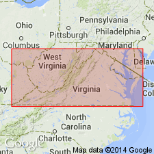
- Atlantic Coast basin
Summary:
Londonbridge and Sand Bridge Formations are here reduced in rank and assigned as Members to the newly named Powells Crossroads Formation. Together these members represent a single transgressive-regressive depositional event similar to that of the newly named Acredale Formation. Silty clays of the Londonbridge are marsh and estuarine deposits of a warm transgressing sea. Gray silty sands in the lower part of the Sand Bridge indicate an open marine environment and grade upward into coarser cross-bedded sands of an intertidal and very nearshore environment. Unit unconformably overlies the Kempsville Member or, where absent, the Norfolk Member, of the Acredale Formation. Unit is 5.6 m thick at the type section. Age is late Pleistocene based on fauna.
Source: GNU records (USGS DDS-6; Reston GNULEX).
For more information, please contact Nancy Stamm, Geologic Names Committee Secretary.
Asterisk (*) indicates published by U.S. Geological Survey authors.
"No current usage" (†) implies that a name has been abandoned or has fallen into disuse. Former usage and, if known, replacement name given in parentheses ( ).
Slash (/) indicates name conflicts with nomenclatural guidelines (CSN, 1933; ACSN, 1961, 1970; NACSN, 1983, 2005, 2021). May be explained within brackets ([ ]).