- Usage in publication:
-
- Potter Creek coal bed
- Modifications:
-
- Named
- Dominant lithology:
-
- Coal
- AAPG geologic province:
-
- Central Montana uplift
Summary:
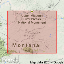
Named as an informal coal bed at base of "Forestgrove member", an informal member of the Heath Formation for Potter Creek, south of well where coal first recognized, Fergus Co, MT, Central Montana uplift. No type locality designated. Composed of dull to shiny black, parallel laminated coal, mudstone and pyrite laminae, and white calcite and gypsum laminae. Some vertical calcite and pyrite veinlets. Ranges from 0.1 to 0.6 ft thick. Overlies dark gray to black mudstone and shale of lower Heath. Underlies dark gray to black shale and limestone unit of "Forestgrove member." Shown on cross section between T14N, R18E to T12N, R21E. Of Mississippian age. Measured sections. Stratigraphic diagram.
Source: GNU records (USGS DDS-6; Denver GNULEX).
For more information, please contact Nancy Stamm, Geologic Names Committee Secretary.
Asterisk (*) indicates published by U.S. Geological Survey authors.
"No current usage" (†) implies that a name has been abandoned or has fallen into disuse. Former usage and, if known, replacement name given in parentheses ( ).
Slash (/) indicates name conflicts with nomenclatural guidelines (CSN, 1933; ACSN, 1961, 1970; NACSN, 1983, 2005, 2021). May be explained within brackets ([ ]).

