The National Geologic Map Database is migrating to a new infrastructure. We apologize for any service disruptions during this process.
|
|---|


- Usage in publication:
-
- Poteet limestone*
- Modifications:
-
- Named
- Dominant lithology:
-
- Limestone
- Chert
- AAPG geologic province:
-
- Appalachian basin
Summary:
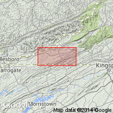
Named the Poteet limestone for Poteet Ford, a crossing on the Powell River, Lee Co., VA. Consists of gray, brown, and tan, dense fine-grained limestone with abundant chert nodules; darker colored limestone predominant in lower part, and lighter colored limestone predominant in upper part; locally has zone of coarsely crystalline fragmental limestone at or near base, and one or more beds of dolomitic limestone higher up. Thickness is 45 to 97 feet. Unit unconformably overlies the Dot limestone and underlies the Rob Camp limestone. The Poteet is of Middle Ordovician age.
Source: GNU records (USGS DDS-6; Reston GNULEX).
- Usage in publication:
-
- Poteet limestone*
- Modifications:
-
- Principal reference
- AAPG geologic province:
-
- Appalachian basin
Summary:
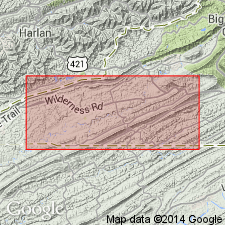
Designated the type locality of the Poteet limestone as exposures along a woods lane at base of bluff overlooking Powell River 0.2 miles north of suspension footbridge at Poteet Ford, Lee Co., VA. Unit unconformably underlies the Martin Creek limestone in areas where the Rob Camp limestone is absent.
Source: GNU records (USGS DDS-6; Reston GNULEX).
- Usage in publication:
-
- Poteet Limestone*
- Modifications:
-
- Areal extent
- AAPG geologic province:
-
- Appalachian basin
Summary:
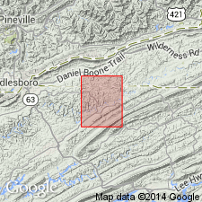
Geographically extended the Poteet Limestone to northeastern TN. Consists of 85 feet of interbedded argillaceous yellowish gray weathering calcilutite and olive gray calcilutite in 1 to 6 inch thick beds; olive black chert nodules are abundant in lower half of formation and sparse in upper part. Unit overlies the Dot Formation and underlies the Rob Camp Limestone. The Poteet is of Middle Ordovician age.
Source: GNU records (USGS DDS-6; Reston GNULEX).
For more information, please contact Nancy Stamm, Geologic Names Committee Secretary.
Asterisk (*) indicates published by U.S. Geological Survey authors.
"No current usage" (†) implies that a name has been abandoned or has fallen into disuse. Former usage and, if known, replacement name given in parentheses ( ).
Slash (/) indicates name conflicts with nomenclatural guidelines (CSN, 1933; ACSN, 1961, 1970; NACSN, 1983, 2005, 2021). May be explained within brackets ([ ]).