

- Usage in publication:
-
- Potato Canyon Rhyolite
- Modifications:
-
- Named
- Dominant lithology:
-
- Rhyolite
- Tuff
- Sandstone
- Gravel
- AAPG geologic province:
-
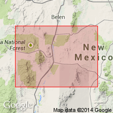
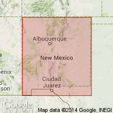
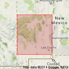
- Orogrande basin
Summary:
Named, probably for Potato Canyon, where it is thick and well exposed. Type area--Potato Canyon, sec 12, T5S, R6W, San Mateo Mountains area, Socorro Co, NM in the Orogrande basin--does not contain a complete section (one has not been found). Here the contact between Potato Canyon and underlying A-L Peak Rhyolite (new) is marked by abrupt change in crystallinity, increase in amount of lithic inclusions, and a cooling break, but no extensive erosional break. Unconformably overlain by Beartrap Canyon Formation (new). A fission-track date of 30.3 +/-1.6 m.y. (Smith and others, 1976) was obtained near base of Potato Canyon. Potato Canyon is a thick section of reddish-brown, relatively crystal-rich ash-flow tuff cropping out in Mt. Withington cauldron, where it is at least 1,500-1,700 m thick. Rocks in central part of cauldron are massive, densely welded, and commonly contain numerous lithic inclusions; breccia containing 1-m andesite boulders present locally. Along margins of Mt. Withington cauldron consists of a series of relatively thin, gray to purple, moonstone-bearing ash flows which represent the youngest tuffs of the unit. Numerous cooling units are present. Locally, thin, discontinuous sandstone and gravel lenses are interbedded with upper tuff; locally, aphanitic andesite flows interfinger with tuff around northern margins of cauldron. Indications are of more continuous and rapid accumulation of tuff in cauldron center than near margins.
Source: GNU records (USGS DDS-6; Denver GNULEX).
- Usage in publication:
-
- Potato Canyon Rhyolite
- Modifications:
-
- Geochronologic dating
- AAPG geologic province:
-
- Orogrande basin
Summary:
This report presents new fission-track ages for Tertiary volcanic rocks in the Mogollon plateau, southwestern NM. Potato Canyon Rhyolite and A-L Peak Rhyolite probably erupted from the Mount Withington cauldron, San Mateo Mountains, Socorro Co, NM, Orogrande basin (Deal, Rhodes, 1976). Within the cauldron, Potato Canyon overlies A-L Peak and both formations lie stratigraphically above Hells Mesa Quartz Latite dated at 32.1 and 32.4 m.y. by Burke and others (1963). A sample of Potato Canyon taken from sec 6, T5S, R5W, Socorro Co produced a fission-track date on sphene of 30.3 +/-1.6 m.y.; a sample of A-L Peak taken from SE1/4 sec 27, T4S, R6W, Socorro Co produced a fission-track date on sphene of 31.8 +-1.7 m.y. These dates are in complete accord with stratigraphic relations and available dates, and date the time of formation of the Mount Withington cauldron.
Source: GNU records (USGS DDS-6; Denver GNULEX).
- Usage in publication:
-
- Potato Canyon Rhyolite Tuff†
- Modifications:
-
- Abandoned
Summary:
Area of report is northeast Mogollon-Datil volcanic field in Socorro, Catron, and southernmost Valencia Cos, NM, Orogrande basin, Basin-and-Range province, and southernmost San Juan basin. Potato Canyon Rhyolite Tuff abandoned in this report because unit is mixture of South Canyon Tuff, Lemitar Tuff, La Jencia Tuff (new), Hells Mesa Tuff, and tuff of Caronita Canyon. The type locality contains South Canyon Tuff; the other units were miscorrelated with this unit in other parts of the San Mateo Mountains, Socorro Co, in Orogrande basin.
Source: GNU records (USGS DDS-6; Denver GNULEX).
For more information, please contact Nancy Stamm, Geologic Names Committee Secretary.
Asterisk (*) indicates published by U.S. Geological Survey authors.
"No current usage" (†) implies that a name has been abandoned or has fallen into disuse. Former usage and, if known, replacement name given in parentheses ( ).
Slash (/) indicates name conflicts with nomenclatural guidelines (CSN, 1933; ACSN, 1961, 1970; NACSN, 1983, 2005, 2021). May be explained within brackets ([ ]).