The National Geologic Map Database is migrating to a new infrastructure. We apologize for any service disruptions during this process.
|
|---|


- Usage in publication:
-
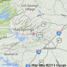
- Potash Sulfur Springs Igneous Complex
- Modifications:
-
- Geochronologic dating
- AAPG geologic province:
-
- Ouachita folded belt
Summary:
Age defined by uranium-lead isotope dating of zircon crystals from weathered syenite as 100 +/-2 Ma, near end of Albian. Age agrees with published age of nearby Magnet Cove Complex, attesting to contemporaniety.
Source: GNU records (USGS DDS-6; Denver GNULEX).
For more information, please contact Nancy Stamm, Geologic Names Committee Secretary.
Asterisk (*) indicates published by U.S. Geological Survey authors.
"No current usage" (†) implies that a name has been abandoned or has fallen into disuse. Former usage and, if known, replacement name given in parentheses ( ).
Slash (/) indicates name conflicts with nomenclatural guidelines (CSN, 1933; ACSN, 1961, 1970; NACSN, 1983, 2005, 2021). May be explained within brackets ([ ]).