

- Usage in publication:
-
- Potapaco member, substage
- Modifications:
-
- Named
- Dominant lithology:
-
- Sand
- AAPG geologic province:
-
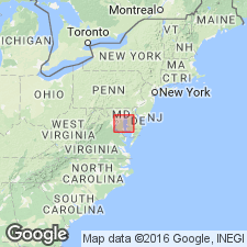
- Atlantic Coast basin
Summary:
Named Potapaco member for the early name of Port Tobacco Creek, a corruption of the word Potapaco, found on Smith and others early maps. The Potapaco consists of greensand, often very argillaceous and at times gypseous, forming basal member of Nanjemoy formation. Unit underlies the Woodstock member or substage of Nanjemoy formation and overlies the Aquia formation. It is 60-65 feet thick. Unit is considered of early Eocene age.
Source: GNU records (USGS DDS-6; Reston GNULEX).
- Usage in publication:
-
- Potapaco Member*
- Modifications:
-
- Revised
- AAPG geologic province:
-
- Atlantic Coast basin
Summary:
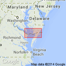
Data from the section in the Haynesville coreholes, 0.65 mi northwest of Haynesville, (lat 37 57'13"N, long 76 60'26"W), Richmond Co., VA: Four thin to thick upward-fining sequences in the Potapaco Member of the Nanjemoy Formation are here designated lithic units A,B,C,D. Tentative relationship of these units to Ward's (1985) Beds A-D is: unit A=Ward's Bed A unit B and C=Ward's Bed B unit D= Ward's Bed C The boundary with the Woodstock Member is uncertain, probably a minor unconformity.
Source: GNU records (USGS DDS-6; Reston GNULEX).
For more information, please contact Nancy Stamm, Geologic Names Committee Secretary.
Asterisk (*) indicates published by U.S. Geological Survey authors.
"No current usage" (†) implies that a name has been abandoned or has fallen into disuse. Former usage and, if known, replacement name given in parentheses ( ).
Slash (/) indicates name conflicts with nomenclatural guidelines (CSN, 1933; ACSN, 1961, 1970; NACSN, 1983, 2005, 2021). May be explained within brackets ([ ]).