

- Usage in publication:
-
- Portwood formation
- Modifications:
-
- Original reference
- Dominant lithology:
-
- Dolomite
- Shale
- AAPG geologic province:
-
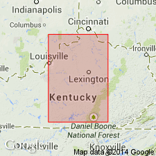
- Appalachian basin
Summary:
Pg. 860 (fig. 4). Portwood formation HYPOTHYRIDINA zone is basal stratum of the New Albany in eastern Kentucky and includes all beds between Middle Devonian limestone and Trousdale shale. Consists of Duffin dolomite, Harg calcareous shale (new), and Ravenna carbonaceous shale as members, which are regarded as coeval facies within the HYPOTHYRIDINA zone. Generalized section of Estill County shows maximum thickness of 22 feet; all three facies present. Age is Late Devonian.
[Type locality and origin of name not given.]
Source: US geologic names lexicon (USGS Bull. 1200, p. 3110).
- Usage in publication:
-
- Portwood Member
- Modifications:
-
- Redescribed
- AAPG geologic province:
-
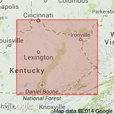
- Appalachian basin
Summary:
Campbell's (1946) definition is inadequate, hence term has been seldom used. Unit is potentially usable and easily defined. It here replaces Duffin, Harg, and Ravenna facies. Portwood is here defined as basal-most unit of the black-shale sequence characterized by substantial amount of limestone and dolomite. Top and bottom defined by sandy lag horizon. Unit is up to 4 m thick. Consists of four lithofacies. In large part coeval with Blocher Member of New Albany Shale.
Source: GNU records (USGS DDS-6; Reston GNULEX).
For more information, please contact Nancy Stamm, Geologic Names Committee Secretary.
Asterisk (*) indicates published by U.S. Geological Survey authors.
"No current usage" (†) implies that a name has been abandoned or has fallen into disuse. Former usage and, if known, replacement name given in parentheses ( ).
Slash (/) indicates name conflicts with nomenclatural guidelines (CSN, 1933; ACSN, 1961, 1970; NACSN, 1983, 2005, 2021). May be explained within brackets ([ ]).