- Usage in publication:
-
- Portland arkose
- Modifications:
-
- Named
- Dominant lithology:
-
- Arkose
- Conglomerate
- Siltstone
- Shale
- AAPG geologic province:
-
- New England province
- Hartford basin
Summary:
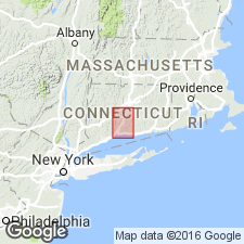
The upper unit of the Newark Group in central Connecticut is named the Portland Arkose. It consists of red fluvial arkose, conglomerate, siltstone, and shale. Overlies the Meriden Formation; top is eroded at surface. Age is Late Triassic.
Source: GNU records (USGS DDS-6; Reston GNULEX).
- Usage in publication:
-
- Portland Arkose*
- Modifications:
-
- Overview
- AAPG geologic province:
-
- New England province
- Hartford basin
Summary:
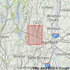
Portland Arkose is accepted for use by the USGS.
Source: GNU records (USGS DDS-6; Reston GNULEX).
- Usage in publication:
-
- Portland Arkose*
- Modifications:
-
- Areal extent
- AAPG geologic province:
-
- New England province
- Hartford basin
Summary:
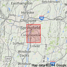
Portland Arkose is extended north into Massachusetts where it replaces the stratigraphically equivalent Longmeadow Sandstone, no longer recognized in its type area, and the Chicopee Shale, which is recognized as a fine-grained facies of the Portland. The Longmeadow and Chicopee are abandoned.
Source: GNU records (USGS DDS-6; Reston GNULEX).
- Usage in publication:
-
- Portland Formation
- Modifications:
-
- Age modified
- Biostratigraphic dating
- AAPG geologic province:
-
- New England province
- Hartford basin
Summary:
The Portland Formation is about 500 m thick in southern CT, 1,250 m thick in northern CT, and is at least 3,000 m thick in MA, due to the presence of younger strata. Palynofloral zones in the lower Portland Formation range in age from late Sinemurian to early Toarcian. No paleobotanical data are available for the upper Portland, but if basin subsidence for the upper Portland was comparable to that for the lower Portland, based on average sedimentation rates, the youngest strata in the Portland would be Aalenian to Bathonian.
Source: GNU records (USGS DDS-6; Reston GNULEX).
- Usage in publication:
-
- Portland Formation*
- Modifications:
-
- Revised
- AAPG geologic province:
-
- New England province
- Hartford basin
Summary:
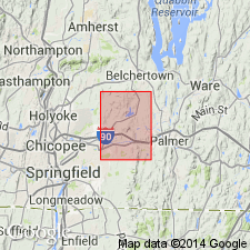
Sedimentary strata of the Newark Group in the Ludlow quad., originally described as the Sugarloaf Arkose and Mount Toby Conglomerate by Emerson (1898), are mapped as the Portland Formation, which is more appropriate than Portland Arkose because the clastic sequence includes rock types ranging from siltstone to boulder conglomerate.
Source: GNU records (USGS DDS-6; Reston GNULEX).

- Usage in publication:
-
- Portland Formation*
- Modifications:
-
- Overview
- AAPG geologic province:
-
- New England province
- Hartford basin
Summary:
Used as Portland Formation of Early Jurassic age. Consists of reddish-brown to pale-red arkose and siltstone, and gray sandstone, gray siltstone, and black shale; interpreted as lake beds. Reddish-brown to pale-red conglomerate and arkose separately mapped as an informal member.
Source: GNU records (USGS DDS-6; Reston GNULEX).
- Usage in publication:
-
- Portland Formation*
- Modifications:
-
- Revised
- AAPG geologic province:
-
- New England province
Summary:
Assigned to Newark Supergroup. Upper part may be Middle Jurassic according to Cornet (1977).
Source: GNU records (USGS DDS-6; Reston GNULEX).
- Usage in publication:
-
- Portland Formation*
- Modifications:
-
- Overview
- AAPG geologic province:
-
- New England province
- Hartford basin
Summary:
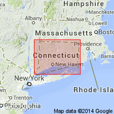
Portland Formation of the Newark Supergroup is mapped in the Hartford and Pomperaug basins.
Source: GNU records (USGS DDS-6; Reston GNULEX).
For more information, please contact Nancy Stamm, Geologic Names Committee Secretary.
Asterisk (*) indicates published by U.S. Geological Survey authors.
"No current usage" (†) implies that a name has been abandoned or has fallen into disuse. Former usage and, if known, replacement name given in parentheses ( ).
Slash (/) indicates name conflicts with nomenclatural guidelines (CSN, 1933; ACSN, 1961, 1970; NACSN, 1983, 2005, 2021). May be explained within brackets ([ ]).

