The National Geologic Map Database is migrating to a new infrastructure. We apologize for any service disruptions during this process.
|
|---|


- Usage in publication:
-
- Portal formation
- Modifications:
-
- Original reference
- Dominant lithology:
-
- Shale
- Limestone
- AAPG geologic province:
-
- Pedregosa basin
Summary:
Pg. 475-480. Portal formation. Consists of four members (ascending): alternating very thin beds of calcareous olive-colored shale and shaly aphanitic dark olive-gray limestone, 93 feet thick at type section; hard fissile siliceous black shale, 37 feet; alternating very thin beds of shale and limestone, 153 feet; and alternating thick and very thick beds of bioclastic limestone, 59 feet. Total thickness ranges from 200 to 342 feet; 342 feet at type section. Disconformably overlies El Paso formation; contact placed above ledge-forming dolomite of the El Paso with less-resistant slope-forming calcareous shale and limestone of Portal. Underlies Escabrosa limestone; contact placed at base of cliffs and ledges of Escabrosa. May correlate with Morenci shale. Fossiliferous (conodonts, brachiopods). Age is Late Devonian.
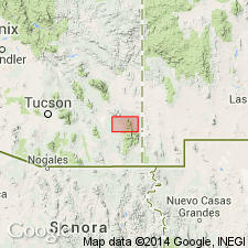
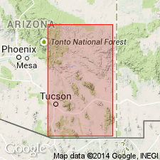
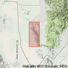
Type section: about 2 mi northwest of village of Portal, Cochise Co., southeastern AZ. Exposed in SW/4 sec. 14, T. 17 S., R. 31 E., where formation forms ridge between Round Valley on north and Silver Creek on south. Named from Portal.
Source: US geologic names lexicon (USGS Bull. 1200, p. 3101-3102); supplemental information from GNU records (USGS DDS-6; Denver GNULEX).
- Usage in publication:
-
- Portal Formation
- Modifications:
-
- Biostratigraphic dating
- AAPG geologic province:
-
- Pedregosa basin
Summary:
Pg. 72-76. Conodonts collected from the Portal Formation, at Blue Mountain on the east side of the Chiricahua Mountains, Arizona (Pedregosa basin), support correlation with the Martin Formation of Arizona and the Percha Shale of New Mexico. Age is Late Devonian.
Source: Modified from GNU records (USGS DDS-6; Denver GNULEX).
- Usage in publication:
-
- Portal Formation*
- Modifications:
-
- Areal extent
- Overview
- AAPG geologic province:
-
- Pedregosa basin
Summary:
Upper Devonian rocks vary sufficiently among ranges near Swisshelm Mountains, Cochise Co, AZ, Pedregosa basin so that correlative units have been given different names; though farther away, lithologies remain relatively uniform over large distances and use of some names is widespread. Portal occurs in area east of Sulphur Springs Valley (located between Dragoon and Swisshelm Mountains) and consists of alternating thin beds of limestone and shale. Correlative Upper Devonian rocks are called Percha Shale, a black shale occurring over wide area of southern NM and Martin Formation which is present over wide area of southern and central AZ. In most of Swisshelm Mountains, Swisshelm Formation is present and consists mostly of dolomite and some sandstone and marlstone.
Source: GNU records (USGS DDS-6; Denver GNULEX).
For more information, please contact Nancy Stamm, Geologic Names Committee Secretary.
Asterisk (*) indicates published by U.S. Geological Survey authors.
"No current usage" (†) implies that a name has been abandoned or has fallen into disuse. Former usage and, if known, replacement name given in parentheses ( ).
Slash (/) indicates name conflicts with nomenclatural guidelines (CSN, 1933; ACSN, 1961, 1970; NACSN, 1983, 2005, 2021). May be explained within brackets ([ ]).