- Usage in publication:
-
- Port Byron limestone
- Modifications:
-
- Named
- Dominant lithology:
-
- Limestone
- Dolomite
- AAPG geologic province:
-
- Wisconsin arch
Summary:
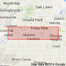
Name Port Byron limestone introduced for 35 to 40 ft of yellowish dolomite exposed in the new limekiln quarry at town of Port Byron, Rock Island Co., northwestern IL. It occurs in thin irregular layers, which, in occasional pockets and along thin bands, are crowded with fossils. These fossils also occur in upper limestone of Thornton quarry, near Chicago and are thought to indicate Guelph age. The strata, which dip southeast at an angle of nearly 35 deg, are considered equivalent to those in upper part of quarry at Thornton, IL. Overlies Racine limestone without distinct break.
Source: GNU records (USGS DDS-6; Reston GNULEX).

- Usage in publication:
-
- Port Byron
- Modifications:
-
- Not used
- AAPG geologic province:
-
- Wisconsin arch
Summary:
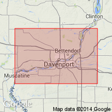
Author's primary purpose of this report is to extend nomenclature of east-central IA to adjacent northwestern IL. Since it has long been known that LeClaire and Port Byron Formations are equivalent, their type localities being directly across the Mississippi River from each other, the LeClaire is extended to IL (following the usage of Bunker and others, 1985) and the Port Byron is not used. The LeClaire has precedence, having been named by James Hall in 1858.
Source: GNU records (USGS DDS-6; Reston GNULEX).
For more information, please contact Nancy Stamm, Geologic Names Committee Secretary.
Asterisk (*) indicates published by U.S. Geological Survey authors.
"No current usage" (†) implies that a name has been abandoned or has fallen into disuse. Former usage and, if known, replacement name given in parentheses ( ).
Slash (/) indicates name conflicts with nomenclatural guidelines (CSN, 1933; ACSN, 1961, 1970; NACSN, 1983, 2005, 2021). May be explained within brackets ([ ]).

