

- Usage in publication:
-
- Popo Agie member
- Modifications:
-
- Revised
- AAPG geologic province:
-
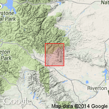
- Wind River basin
Summary:
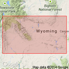
Designation Popo Agie beds changed to Popo Agie member of Chugwater formation. Overlies Crow Mountain member (new) of Chugwater. Underlies Gypsum Spring member (new) of Chugwater. Is 297 ft thick in a measured section along east side of Red Creek in sec 36, T7N, R4W, sec 1, T6N, R4W, and sec 6, T6N, R3W, Fremont Co, WY in Wind River basin. Of Triassic age. Geologic map.
Source: GNU records (USGS DDS-6; Denver GNULEX).
- Usage in publication:
-
- Popo Agie Member
- Modifications:
-
- Revised
- Overview
- AAPG geologic province:
-
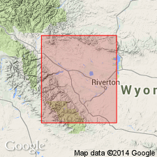
- Wind River basin
- Bighorn basin
Summary:
Revised in that unnamed red bed unit assigned to Chugwater Formation (revised); red bed unit occurs between Crow Mountain (revised) and Popo Agie Members of Chugwater. Study area within Wind River and Bighorn basins, WY on northeast flank of Wind River Mountains and north flank of Owl Creek Mountains. Assignment of red bed unit to Chugwater modifies lower boundary of Popo Agie and upper boundary of Crow Mountain. Popo Agie divided into four informal units, in ascending order: lower carbonate unit, purple unit, ocher unit, and upper carbonate unit. Upper and lower carbonate units are characterized by silty and sandy limestones, silty dolomites, and limestone microconglomerates; purple and ocher units are characterized by spherulitc analcimolites, analcimic, silty claystones, and analcimic siltstones. Lower carbonate, purple, and ocher units of Popo Agie may extend into southeastern WY where they are lateral equivalents of upper part of Jelm Formation. Lower carbonate unit is 5-31 ft thick; purple unit is 38-62 ft thick; ocher unit is 67 ft thick; and upper carbonate unit is 3-12 ft thick. Cross section. Disconformably underlies Nugget Sandstone. Triassic age.
Source: GNU records (USGS DDS-6; Denver GNULEX).
- Usage in publication:
-
- Popo Agie Formation
- Modifications:
-
- Revised
- Overview
- AAPG geologic province:
-
- Wind River basin
- Bighorn basin
Summary:
Raised to formation rank and assigned to Chugwater Group (rank raised) as uppermost of three formations in Wind River and Bighorn basins. Further revised from authors' previous study (1965, Journal of Sedimentary Petrology) to include unnamed redbed unit at base; thus Popo Agie now subdivided to include five informal units. Most complete section at Red Grade (sec 13, T5N, R6W, Fremont Co) where Popo Agie is 170 ft thick. Also well exposed south of Thermopolis (sec 22, T42N, R95W, Hot Springs Co); Hudson Dome (sec 24, T2S, R1E, Fremont Co) and Dallas Dome (sec 13, T32N, R99W, Fremont Co). Stratigraphic chart. Disconformably overlies Crow Mountain Formation (rank raised) of Chugwater; unconformably underlies either Nugget Sandstone or Gypsum Spring Formation. Late Triassic age.
Source: GNU records (USGS DDS-6; Denver GNULEX).
- Usage in publication:
-
- Popo Agie Formation*
- Modifications:
-
- Revised
- Reference
- Dominant lithology:
-
- Sandstone
- Siltstone
- Claystone
- AAPG geologic province:
-
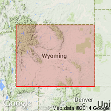
- Green River basin
- Wind River basin
Summary:
Raised to formation rank as upper formation of Chugwater Group in south-central WY. Recognized between Lander, Fremont Co to Troublesome Creek, Carbon Co. Divided into newly named Brynt Draw (base) and Lyons Valley (top) Members. Reference locality established at Dallas anticline in SE1/4 sec 13, SW1/4 sec 12, T32N, R99W, Fremont Co, WY in Wind River basin. Extends into Greater Green River basin. Lithologic description of reference section shown only on a cross section on which the lower siltstone and sandstone is assigned to Brynt Draw and the upper siltstone and claystone to Lyons Valley. Overlies Crow Mountain Sandstone (rank raised); underlies Bell Springs Member (new) of Nugget Sandstone. Assigned to Triassic. Cross sections.
Source: GNU records (USGS DDS-6; Denver GNULEX).
- Usage in publication:
-
- Popo Agie Formation
- Modifications:
-
- Revised
- AAPG geologic province:
-
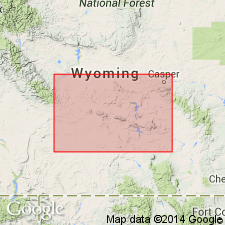
- Yellowstone province
- Green River basin
- Wind River basin
Summary:
Unnamed lower red bed unit of High and Picard (1967) removed from lower part of Popo Agie and assigned to Jelm Formation in western and west-central WY, Yellowstone province and Greater Green River and Wind River basins. Assigned to Chugwater Group. Popo Agie correlates with upper part of Ankareh Formation in western WY at Munger Mountain (sec 21, T39N, R116W) in Teton Co, Yellowstone province. Overlies Jelm Formation; unconformably underlies Nugget Sandstone. Correlation chart; cross sections. Late Triassic age.
Source: GNU records (USGS DDS-6; Denver GNULEX).
For more information, please contact Nancy Stamm, Geologic Names Committee Secretary.
Asterisk (*) indicates published by U.S. Geological Survey authors.
"No current usage" (†) implies that a name has been abandoned or has fallen into disuse. Former usage and, if known, replacement name given in parentheses ( ).
Slash (/) indicates name conflicts with nomenclatural guidelines (CSN, 1933; ACSN, 1961, 1970; NACSN, 1983, 2005, 2021). May be explained within brackets ([ ]).