The National Geologic Map Database is migrating to a new infrastructure. We apologize for any service disruptions during this process.
|
|---|


- Usage in publication:
-
- Poplar Hill Gneiss
- Modifications:
-
- Named
- Dominant lithology:
-
- Gneiss
- AAPG geologic province:
-
- Adirondack uplift
Summary:
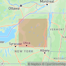
The Poplar Hill Gneiss of the Oswegatchie Group is here named from exposures in the Northwest Lowlands of the Adirondacks, New York. It was previously named the Major Paragneiss by Engel and Engel (1953). It consists of rusty-brown or gray weathering biotite-quartz-oligoclase gneiss with thin layers and veins of pink to white granitic gneiss. Overlies the Baldface Hill Gneiss and unconformably underlies the Gouverneur Marble, both of the Oswegatchie Group. Age is Proterozoic.
Source: GNU records (USGS DDS-6; Reston GNULEX).
- Usage in publication:
-
- /Popple Hill Gneiss
- Modifications:
-
- Revised
- AAPG geologic province:
-
- Adirondack uplift
Summary:
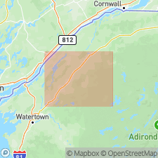
Author here prefers to use the local name, Popple Hill, rather than Poplar Hill. The name Popple Hill was introduced by deLorraine and others, 1985 (GSA Abs., v. 17, p. 15). ["Poplar Hill" is shown on the Gouverneur topographic map (1982); according to U.S. Board on Geographic Names records, "Popple Hill" is in Essex County, northeast New York.] Unit occurs between an upper and lower marble (which is in agreement with deLorraine and others, 1985, interpretation). Removed from Oswegatchie Group in northwest Adirondacks since unit has volcanic rather than sedimentary origin. Unit dated at 1297 +/-41 Ma by Grant and others, 1984 (GSA Abs., v. 16, p. 19).
Source: Modified from GNU records (USGS DDS-6; Reston GNULEX).
- Usage in publication:
-
- /Popple Hill Gneiss
- Modifications:
-
- Overview
- AAPG geologic province:
-
- Adirondack uplift
Summary:
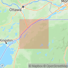
Popple Hill Gneiss overlies the Lower Marble formation, here subdivided into several informal members. Idealized stratigraphic column shows Maple Ridge member directly beneath Popple Hill. However, at Fowler, Balmat, and Fullervillle, Popple Hill Gneiss overlies the lowermost Black Lake member of the Lower Marble formation. Contact is interpreted as tectonic slide. U-Pb age is 1214 +/-21 Ma according to Carl and Sinha (1992, GSA Abs., v. 24, p. 11).
Source: GNU records (USGS DDS-6; Reston GNULEX).
- Usage in publication:
-
- /Popple Hill Gneiss
- Modifications:
-
- Overview
- AAPG geologic province:
-
- Adirondack uplift
Summary:
Popple Hill is a unit of migmatitic gneisses 1000 m (?) thick that occurs between the Upper and Lower Marble Formations. The most abundant rock type is a biotite-quartz-oligoclase gneiss that has variable amounts of K-feldspar and locally contains garnet or sillimanite. Rocks are typically dark, fine-grained, layered to finely foliated gneisses. Commonly contains an abundance of boudinaged leucosomes and layers of leucogneiss and amphibolite.
Source: GNU records (USGS DDS-6; Reston GNULEX).
For more information, please contact Nancy Stamm, Geologic Names Committee Secretary.
Asterisk (*) indicates published by U.S. Geological Survey authors.
"No current usage" (†) implies that a name has been abandoned or has fallen into disuse. Former usage and, if known, replacement name given in parentheses ( ).
Slash (/) indicates name conflicts with nomenclatural guidelines (CSN, 1933; ACSN, 1961, 1970; NACSN, 1983, 2005, 2021). May be explained within brackets ([ ]).