The National Geologic Map Database is migrating to a new infrastructure. We apologize for any service disruptions during this process.
|
|---|


- Usage in publication:
-
- Poor Mountain zone, series
- Modifications:
-
- Named
- Dominant lithology:
-
- Limestone
- Marble
- AAPG geologic province:
-
- Piedmont-Blue Ridge province
Summary:
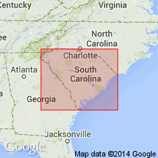
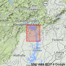
Poor Mountain zone (Cambrian?) is exposed along Rich Mountain, Poor Mountain, and Potato Top Mountain, which establishes southeastern limit of prominently elevated region of Oconee Co. The soluble character of the limestone has largely caused its disappearance from depressed areas intermediate to successive knobs of ridges. Where it has been rapidly drained it has persisted. The exposure of this series from a high point on Poor Mountain to a low point on a dale of Rich Mountain indicates a moderate dip to the southeast. A narrow belt of Carolina gneiss series underlies Poor Mountain series, which comprises dark calcareous slates, marble, thin hornblende schists, ottrelite(?) schists, sandstones, and itacolumite. The white dolomitic marble of this zone grades to a dark-green pyroxenic mass, in places altered to hornblende. This series probably pertains to Keith's "Brevard schists," assigned to Cambrian.
Source: GNU records (USGS DDS-6; Reston GNULEX).

- Usage in publication:
-
- Poor Mountain Formation
- Modifications:
-
- Revised
- AAPG geologic province:
-
- Piedmont-Blue Ridge province
Summary:
According to author, name Poor Mountain Formation is formally proposed in this report. Name of unit is changed to Formation from "series" of Sloan and "marble" of Cazeau. Unit is stratigraphically extended to include the Brevard-Poor Mountain transitional member. Age is modified to late Precambrian and Early Cambrian.
Source: GNU records (USGS DDS-6; Reston GNULEX).
- Usage in publication:
-
- Poor Mountain Formation
- Modifications:
-
- Areal extent
- AAPG geologic province:
-
- Piedmont-Blue Ridge province
Summary:
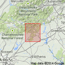
Poor Mountain Formation is extended to northeastern GA where it is described in Rabun and Habersham Cos.
Source: GNU records (USGS DDS-6; Reston GNULEX).
- Usage in publication:
-
- Poor Mountain Formation
- Modifications:
-
- Revised
- Overview
- AAPG geologic province:
-
- Piedmont-Blue Ridge province
Summary:
Poor Mountain Formation, several 100 m thick, includes Brevard Phyllite, Brevard-Poor Mountain Transitional, and Amphibolite Members. Coeval with Chauga River Formation.
Source: GNU records (USGS DDS-6; Reston GNULEX).
- Usage in publication:
-
- Poor Mountain Formation
- Modifications:
-
- Overview
- AAPG geologic province:
-
- Piedmont-Blue Ridge province
Summary:
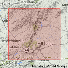
Davis (1993: Univ. of TN, Ph.D. dissertation) redefined the lithostratigraphy of the Columbus Promontory to include four major units including the Henderson Gneiss, the Sugarloaf gneiss, the Poor Mountain Formation, and the Mill Spring complex. New framework is consistent in many ways with original ideas of Lemmon (1973: Univ. of NC, Ph.D. dissertation). These units comprise three thrust sheets. The Sugarloaf Mountain thrust sheet includes the Sugarloaf gneiss, the Poor Mountain Formation, and the upper Mill Spring complex. The Poor Mountain Formation in the study area is divided into three mappable units: laminated amphibolite and hornblende gneiss; garnet-mica schist and quartzite; and interlayered amphibolite and quartzite. The unit crops out structurally below and above the Henderson Gneiss of the Tumblebug Creek thrust sheet.
Source: GNU records (USGS DDS-6; Reston GNULEX).
For more information, please contact Nancy Stamm, Geologic Names Committee Secretary.
Asterisk (*) indicates published by U.S. Geological Survey authors.
"No current usage" (†) implies that a name has been abandoned or has fallen into disuse. Former usage and, if known, replacement name given in parentheses ( ).
Slash (/) indicates name conflicts with nomenclatural guidelines (CSN, 1933; ACSN, 1961, 1970; NACSN, 1983, 2005, 2021). May be explained within brackets ([ ]).