- Usage in publication:
-
- Poolesville Member*
- Modifications:
-
- Named
- Dominant lithology:
-
- Sandstone
- Conglomerate
- AAPG geologic province:
-
- Piedmont-Blue Ridge province
- Culpeper basin
- Barboursville basin
Summary:
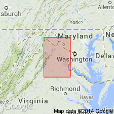
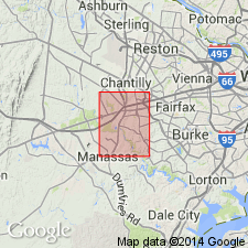
Following the informal usage of Lee (1979, 1980), the Poolesville Member of the Manassas Sandstone is named for exposures near Poolesville, Maryland. It constitutes the bulk of the Manassas Sandstone in the eastern part of the Culpeper basin and the southeastern part of the Barboursville basin. It consists of thick bedded to massive red arkosic sandstone composed of feldspar and quartz sand in a clayey silt matrix and locally contains lenses of sandstone and quartzite pebble conglomerate. It is laterally and vertically gradational with both the underlying Rapidan, Reston, and Tuscarora Creek Members of the Manassas and the overlying Balls Bluff Siltstone. Thickness ranges from 200 to 1,000 m (650 to 3,300 feet) or more. Age is late Carnian based on spores and plant fossils.
Source: GNU records (USGS DDS-6; Reston GNULEX).

- Usage in publication:
-
- Poolesville Member*
- Modifications:
-
- Biostratigraphic dating
- Age modified
- AAPG geologic province:
-
- Piedmont-Blue Ridge province
- Culpeper basin
Summary:
Sparse plant fossils and pollen grains from Poolesville Member of Manassas Sandstone indicate Late Triassic age, ranging from late Carnian to middle Norian (Lee and Froelich, 1989; Luttrell, 1989). Re-examination of pollen grains from Poolesville indicate an early Norian age (R.J. Litwin, 1991, oral commun.).
Source: GNU records (USGS DDS-6; Reston GNULEX).
For more information, please contact Nancy Stamm, Geologic Names Committee Secretary.
Asterisk (*) indicates published by U.S. Geological Survey authors.
"No current usage" (†) implies that a name has been abandoned or has fallen into disuse. Former usage and, if known, replacement name given in parentheses ( ).
Slash (/) indicates name conflicts with nomenclatural guidelines (CSN, 1933; ACSN, 1961, 1970; NACSN, 1983, 2005, 2021). May be explained within brackets ([ ]).

