

- Usage in publication:
-
- Pony Trail Group*
- Modifications:
-
- Named
- Dominant lithology:
-
- Volcaniclastics
- Tuff
- Rhyolite
- AAPG geologic province:
-
- Great Basin province
Summary:
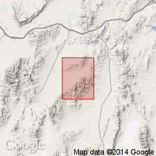
Type section designated as Pony Trail Canyon in Frenchie Creek and Pine Valley 15' quads, Eureka Co, NV. Includes three new formations (ascending); Big Pole Formation, Sod House Tuff, and Frenchie Creek Rhyolite. Thickness is about 3500 ft at type section but much of Big Pole Formation is cut out by Crescent fault. Thickness in Frenchie Creek and Big Pole areas may be as much as 10,000 ft. All three formations are cut by Lower Cretaceous(?) plutons. Assigned Mesozoic age.
Source: GNU records (USGS DDS-6; Menlo GNULEX).
- Usage in publication:
-
- Pony Trail Group*
- Modifications:
-
- Age modified
- AAPG geologic province:
-
- Great Basin province
Summary:
Frenchie Creek Rhyolite of Pony Trail Group is considered Late Jurassic on basis of 151 +/-3 Ma age on biotite (R.L. Armstrong, written commun., 1972). All three formations in group, Big Pole Formation, Sod House Tuff, and Frenchie Creek Rhyolite, are now considered Jurassic and probably Late(?) Jurassic.
Source: GNU records (USGS DDS-6; Menlo GNULEX).
- Usage in publication:
-
- Pony Trail Group*
- Modifications:
-
- Areal extent
- Age modified
- AAPG geologic province:
-
- Great Basin province
Summary:
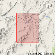
Mapped in Carlin-Pinon Range area. Rhyolite(?) plug in sec.32 T30N R51E included in Frenchie Creek Rhyolite. Age of Frenchie Creek Rhyolite is considered Late Jurassic. Sod House Tuff and Big Pole Formation are Late(?) Jurassic.
Source: GNU records (USGS DDS-6; Menlo GNULEX).
For more information, please contact Nancy Stamm, Geologic Names Committee Secretary.
Asterisk (*) indicates published by U.S. Geological Survey authors.
"No current usage" (†) implies that a name has been abandoned or has fallen into disuse. Former usage and, if known, replacement name given in parentheses ( ).
Slash (/) indicates name conflicts with nomenclatural guidelines (CSN, 1933; ACSN, 1961, 1970; NACSN, 1983, 2005, 2021). May be explained within brackets ([ ]).