

- Usage in publication:
-
- Pomerado Conglomerate
- Modifications:
-
- Named
- Dominant lithology:
-
- Conglomerate
- Sandstone
- AAPG geologic province:
-
- Peninsular Ranges province
Summary:
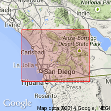
Named as uppermost formation (of 3) in Poway Group in San Diego area. Type section designated along roadcuts of Pomerado Road and Sycamore Canyon access road between San Diego and Poway, San Diego Co, CA. Includes Miramar Sandstone Member (new). Consists of cobble to boulder conglomerate with sandstone lenses. [Has maximum thickness of 55 m]. Gradationally overlies Mission Valley Formation; unconformably underlies San Diego Formation to the south. At type section is at surface. Age is late Eocene based on stratigraphic relations.
Source: GNU records (USGS DDS-6; Menlo GNULEX).
For more information, please contact Nancy Stamm, Geologic Names Committee Secretary.
Asterisk (*) indicates published by U.S. Geological Survey authors.
"No current usage" (†) implies that a name has been abandoned or has fallen into disuse. Former usage and, if known, replacement name given in parentheses ( ).
Slash (/) indicates name conflicts with nomenclatural guidelines (CSN, 1933; ACSN, 1961, 1970; NACSN, 1983, 2005, 2021). May be explained within brackets ([ ]).