

- Usage in publication:
-
- Poison Creek Formation*
- Modifications:
-
- Revised
- Overview
- AAPG geologic province:
-
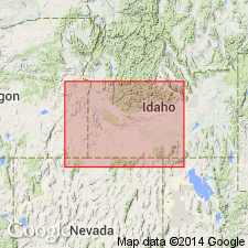
- Snake River basin
Summary:
Unit unconformably overlies newly named Idavada Volcanics in foothills 7 mi northwest of Murphy, at Sinker Creek, 8 mi south of Murphy and along lower Squaw Creek [now Newe Waippe Naokwa̱i̱de], 2 mi east of U.S. Hwy 95 near northern end of Owyhee Mountains (near Homedale), northwest Owyhee Co, ID, Snake River basin. Thickness is 400 ft northwest of Murphy. Near Murphy, unit overlain by Banbury Basalt; near Homedale, overlain by Glenns Ferry Formation (new). Assigned as lowermost of seven formations of Idaho Group (rank raised). Early Pliocene age based on mammalian fossils.
[NOTE: Geographic feature Squaw Creek renamed Newe Waippe Naokwa̱i̱de (U.S. Board on Geographic Names, September 2022, USGS GNIS FeatureID 391288), in accordance with Department of Interior's Secretarial Order 3404, discontinuing use of derogatory term squaw.]
Source: GNU records (USGS DDS-6; Denver GNULEX).
- Usage in publication:
-
- Poison Creek Formation*
- Modifications:
-
- Age modified
- AAPG geologic province:
-
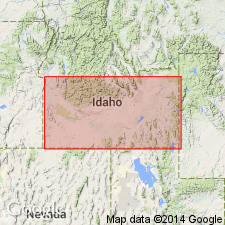
- Snake River basin
Summary:
Pg. 236. Poison Creek Formation of Idaho Group. E.H. McKee (written commun., 1971) reports that four dates on overlying Banbury Basalt of Idaho Group in Owyhee-Jarbidge region, southern ID, range from 8.0 to 10.6 Ma, older dates being preferred. On this basis, Poison Creek is considered about 11 Ma; North American land mammal age Clarendonian [=lower Pliocene (Evernden and others, 1964, Amer. Jour. Sci., v. 262, p. 145-198), =Miocene (Berggren, 1972, Lethaia, v. 5, no. 2, p. 195-215)]. Report includes sample locality map, schematic stratigraphic-chronologic diagram, table of K-Ar ages.
Source: Publication.
For more information, please contact Nancy Stamm, Geologic Names Committee Secretary.
Asterisk (*) indicates published by U.S. Geological Survey authors.
"No current usage" (†) implies that a name has been abandoned or has fallen into disuse. Former usage and, if known, replacement name given in parentheses ( ).
Slash (/) indicates name conflicts with nomenclatural guidelines (CSN, 1933; ACSN, 1961, 1970; NACSN, 1983, 2005, 2021). May be explained within brackets ([ ]).