The National Geologic Map Database is migrating to a new infrastructure. We apologize for any service disruptions during this process.
|
|---|


- Usage in publication:
-
- Poison Canyon conglomerates, series
- Modifications:
-
- First used
- Dominant lithology:
-
- Conglomerate
- Sandstone
- Clay
- Marl
- AAPG geologic province:
-
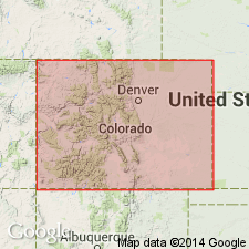
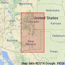
- Las Vegas-Raton basin
Summary:
First published use as Poison Canyon conglomerates (p. 151) and as Poison Canyon series (p. 152). [Definition and areal extent not clearly stated.] Section 7,000 to 8,000 ft thick measured down Poison Canyon and across Muddy Creek to Promontory Bluffs, Huerfano Co, CO in the Las Vegas-Raton basin. Section divided into: lower 3,500 to 4,500 ft thick yellowish sandstone and conglomerate with occasional yellow clay or marl beds; middle 1,500 ft of red, white, brown or variegated sandstone alternating with red and yellow sandy clay and marl; upper 2,000 ft of red and yellow sandy clay and marl that is shaly at some localities alternating with yellow, white, gray, and green sand. [The lower beds may be Hills' Huerfano beds.] Unconformably overlies the Laramie [formation] and Colorado [formation]. The middle beds are well exposed along Poison Canyon near its mouth. Fossils: turtle bones, Coryphodon bones [location of fossils not stated]. Sketch map shows location of rocks of Eocene age. Assigned to the early Tertiary, Eocene.
Source: GNU records (USGS DDS-6; Denver GNULEX).
- Usage in publication:
-
- Poison Canyon beds
- Modifications:
-
- Revised
- AAPG geologic province:
-
- Las Vegas-Raton basin
Summary:
Name restricted in the Las Vegas-Raton basin to the middle and lower divisions of the measured section on Muddy Creek, Huerfano Co, CO in the Las Vegas-Raton basin. The upper division is reassigned to the Huerfano. Error made by author in his original notes. Eocene age.
Source: GNU records (USGS DDS-6; Denver GNULEX).
- Usage in publication:
-
- Poison Canyon Formation*
- Modifications:
-
- Age modified
- AAPG geologic province:
-
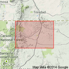
- Las Vegas-Raton basin
Summary:
Overlies Raton Formation throughout most of Raton coal field, Colfax Co, NM, Las Vegas-Raton basin, however, in west and southwest part of coal field, Poison Canyon intertongues with and thickens at expense of Raton. In vicinity of Baldy Peak, in southwestern part of coal field, lowest part of Poison Canyon is age equivalent to Late Cretaceous lower part of Raton. Late Cretaceous and Paleocene age.
Source: GNU records (USGS DDS-6; Denver GNULEX).
For more information, please contact Nancy Stamm, Geologic Names Committee Secretary.
Asterisk (*) indicates published by U.S. Geological Survey authors.
"No current usage" (†) implies that a name has been abandoned or has fallen into disuse. Former usage and, if known, replacement name given in parentheses ( ).
Slash (/) indicates name conflicts with nomenclatural guidelines (CSN, 1933; ACSN, 1961, 1970; NACSN, 1983, 2005, 2021). May be explained within brackets ([ ]).