- Usage in publication:
-
- Poison Canyon sandstone*
- Modifications:
-
- First used
- Dominant lithology:
-
- Sandstone
- AAPG geologic province:
-
- San Juan basin
Summary:
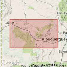
Named "so-called Poison Canyon sandstone" and assigned to Westwater Canyon member (footnote p. 300) of Upper Jurassic Morrison formation. Consists of white to brown, yellowish-orange, yellow gray sandstone composed of quartz, pink feldspar, and some accessory minerals. Is locally conglomeratic, cross-bedded, friable, and shows scour-and-fill structures. Carbonaceous debris--logs, tree limbs, and reeds, claystone lenses and galls present locally. Of fluvial origin. Ranges from 35 to 90 ft thick. Exposed at head of Poison Canyon and is exposed for about 2 mi east of that locality. Merges with main body of Westwater Canyon east of Poison Canyon. Thick parts of Poison Canyon range from 500 to 1,000 ft wide and from 1,000 to 2,500 ft long. Cross sections. Underlies [Brushy Basin Member] of Morrison. Source of name presumably [though not stated] Poison Canyon, McKinley Co, NM, San Juan basin. No type locality designated.
Source: GNU records (USGS DDS-6; Denver GNULEX).

- Usage in publication:
-
- Poison Canyon sandstone*
- Modifications:
-
- Overview
- AAPG geologic province:
-
- San Juan basin
Summary:
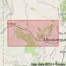
Name applied locally--Ambrosia Lake district, McKinley Co, NM in the San Juan basin--to a uranium-bearing sandstone tongue near the top of the Westwater Canyon member of the Morrison formation. Poison Canyon intertongues with Brushy Basin Member of Morrison. Poison Canyon is tabular shaped and consists of many subparallel layers. Individual layers are as much as 200 ft wide, 20 ft thick. The layers aggregate as much as 700 ft wide and 35 ft deep. Cross sections. Stratigraphic sequence diagram. Of Jurassic age.
Source: GNU records (USGS DDS-6; Denver GNULEX).

- Usage in publication:
-
- Poison Canyon sandstone
- Modifications:
-
- Overview
- AAPG geologic province:
-
- San Juan basin
Summary:
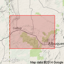
Name applied to an economic or uranium-bearing unit by Hilpert [l960?] to a sandstone in the Westwater Canyon sandstone [member] of the Morrison formation. Type section stated to be near the Poison Canyon mine in the Grants district, McKinley Co, NM, San Juan basin, in sec 19, T13N, R9W. Poison Canyon is bounded above and below by mudstone. Loses its identity to west where it merges with lower sandstones of the Westwater Canyon. Can be recognized throughout Poison Canyon district.
Source: GNU records (USGS DDS-6; Denver GNULEX).
For more information, please contact Nancy Stamm, Geologic Names Committee Secretary.
Asterisk (*) indicates published by U.S. Geological Survey authors.
"No current usage" (†) implies that a name has been abandoned or has fallen into disuse. Former usage and, if known, replacement name given in parentheses ( ).
Slash (/) indicates name conflicts with nomenclatural guidelines (CSN, 1933; ACSN, 1961, 1970; NACSN, 1983, 2005, 2021). May be explained within brackets ([ ]).

