- Usage in publication:
-
- Pocatalico Sandstone Member*
- Modifications:
-
- Named
- Dominant lithology:
-
- Sandstone
- AAPG geologic province:
-
- Appalachian basin
Summary:
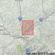
Named Pocatalico Sandstone Member of Conemaugh Formation. Composed of coarse to fine grained sandstone, massive to thin bedded. Well rounded quartz pebbles are sparsely scattered in massive part of member. Thickness is 63 ft at type section; ranges from 0 to 90 ft where mapped. Basal part fills channels eroded into underlying grayish red shale sequence. Upper contact is conformable.
Source: GNU records (USGS DDS-6; Reston GNULEX).
For more information, please contact Nancy Stamm, Geologic Names Committee Secretary.
Asterisk (*) indicates published by U.S. Geological Survey authors.
"No current usage" (†) implies that a name has been abandoned or has fallen into disuse. Former usage and, if known, replacement name given in parentheses ( ).
Slash (/) indicates name conflicts with nomenclatural guidelines (CSN, 1933; ACSN, 1961, 1970; NACSN, 1983, 2005, 2021). May be explained within brackets ([ ]).

