The National Geologic Map Database is migrating to a new infrastructure. We apologize for any service disruptions during this process.
|
|---|


- Usage in publication:
-
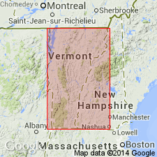
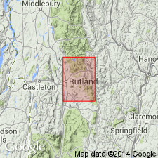
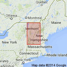
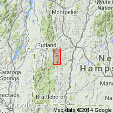
- Plymouth marble*
- Modifications:
-
- Named
- Dominant lithology:
-
- Marble
- Dolomite
- Conglomerate
- Limestone
- AAPG geologic province:
-
- New England province
Summary:
Named the Plymouth marble for Plymouth Township, Windsor Co., VT. Consists chiefly of gray, darkly mottled, dolomitic marble. In town of Plymouth, unit contains limestone conglomerates. The marble is highly folded and in places is probably faulted so that the true thickness is unknown. The Plymouth marble is of Early Cambrian age and correlates with the Rutland dolomite.
Source: GNU records (USGS DDS-6; Reston GNULEX).
- Usage in publication:
-
- Plymouth member
- Modifications:
-
- Revised
- AAPG geologic province:
-
- New England province
Summary:
Revised the Plymouth to the Plymouth member of the Grahamville formation. Consists of massive gray dolomite and white vitreous, thinly bedded quartzite. Maximum thickness is 100 feet, but is typically 10 to 20 feet. Unit underlies the Pinney Hollow Formation.
Source: GNU records (USGS DDS-6; Reston GNULEX).
- Usage in publication:
-
- Plymouth member
- Modifications:
-
- Overview
- AAPG geologic province:
-
- New England province
Summary:
The Plymouth member of the Hoosac formation consists of quartzite, schistose quartzite, dolomitic quartzite, carbonaceous phyllite, buff to dark dolomite, quartz-sericite-chlorite-albite schist, and carbonaceous albite schist. Unit overlies the Turkey Mountain member of the Hoosac formation and underlies the Pinney Hollow formation. The Plymouth is of Early Cambrian age.
Source: GNU records (USGS DDS-6; Reston GNULEX).
- Usage in publication:
-
- Plymouth Formation*
- Modifications:
-
- Revised
- AAPG geologic province:
-
- New England province
Summary:
Revised the Plymouth Member of the Hoosac Formation of Doll and others (1961) to the Plymouth Formation. Consists of a series of feldspathic and dolomitic quartzites, dolostones and black phyllites that overlie probable Middle Proterozoic gneisses. The Plymouth Formation can be divided into several informal members. The lower contact of the formation is below a sequence of dolomitic quartzites or thin bedded quartzite. Dark laminated silty phyllites laterally replace the more feldspathic quartzites and dark-gray schistose quartzites, massive vitreous quartzites, and dolomitic quartzites pass upward to the east into well bedded cream-weathered light-gray dolostone breccia; these lithologies make up the dolostone member of the Plymouth Formation. The upper member of the Plymouth Formation is a black graphitic and siliceous phyllite that contains 1 to 3 cm thick layers of dark-gray ferruginous quartzite, dolomitic quartzite, and ribbony beds of dolostone. The upper contact of the Plymouth Formation is placed at the first occurrence of light-silvery-green magnetite-muscovite-quartz knotted phyllites of the Pinney Hollow Formation.
Source: GNU records (USGS DDS-6; Reston GNULEX).
For more information, please contact Nancy Stamm, Geologic Names Committee Secretary.
Asterisk (*) indicates published by U.S. Geological Survey authors.
"No current usage" (†) implies that a name has been abandoned or has fallen into disuse. Former usage and, if known, replacement name given in parentheses ( ).
Slash (/) indicates name conflicts with nomenclatural guidelines (CSN, 1933; ACSN, 1961, 1970; NACSN, 1983, 2005, 2021). May be explained within brackets ([ ]).