The National Geologic Map Database is migrating to a new infrastructure. We apologize for any service disruptions during this process.
|
|---|


- Usage in publication:
-
- Pluma formation
- Modifications:
-
- Original reference
- Dominant lithology:
-
- Schist
- Shale
- AAPG geologic province:
-
- Midcontinent region
Summary:
Pg. 793-799, 836-843, with maps. Pluma formation. Alternating beds of finely foliated micaceous, chloritic, garnet schist and fine-grained gray-black carbonaceous clay slates, some of which are pyritiferous. Garnets vary in size from a pinhead to an eighth of an inch in diameter. Thickness of slates exceeds that of schists. Total thickness 4,000 feet. Is uppermost Precambrian formation in Lead district (above Garfield formation). Believed to be Keewatin age (Archean). Report includes geologic map.
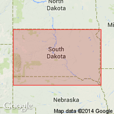
Named from Pluma, about 1.5 mi east of Lead, [Homestake Mine area], Lead district, Lawrence Co., SD, where best exposures occur.
Source: US geologic names lexicon (USGS Bull. 896, p. 1683); supplemental information from GNU records (USGS DDS-6; Denver GNULEX).
For more information, please contact Nancy Stamm, Geologic Names Committee Secretary.
Asterisk (*) indicates published by U.S. Geological Survey authors.
"No current usage" (†) implies that a name has been abandoned or has fallen into disuse. Former usage and, if known, replacement name given in parentheses ( ).
Slash (/) indicates name conflicts with nomenclatural guidelines (CSN, 1933; ACSN, 1961, 1970; NACSN, 1983, 2005, 2021). May be explained within brackets ([ ]).