The National Geologic Map Database is migrating to a new infrastructure. We apologize for any service disruptions during this process.
|
|---|


- Usage in publication:
-
- Plum Creek clay
- Modifications:
-
- First used
- Dominant lithology:
-
- Clay
- AAPG geologic province:
-
- Cincinnati arch
Summary:
Pg. 145. See also entry under Foerste (1906). Plum Creek clay. Is lower of two beds in the Indian Fields formation; upper bed is Oldham limestone.
[According to GNU records (USGS DDS-6; Reston GNULEX, Nov. 17, 1986), this is "first published use" of the Plum Creek; proposal did not meet nomenclatural guidelines (shown on stratigraphic table).]
Source: Modified from GNU records (USGS DDS-6; Reston GNULEX).
- Usage in publication:
-
- Plum Creek clay
- Modifications:
-
- Named
- Dominant lithology:
-
- Clay
- Limestone
- AAPG geologic province:
-
- Cincinnati arch
Summary:
Pg. 10, 44, 61; also 1905, Kentucky Geol. Survey Bull., no. 6, p. 145. Plum Creek clay. Clay interbedded with thin limestones, 5 feet thick, forming part of Indian Fields formation (of Niagaran age). Overlain by Oldham limestone (top member of Indian Fields formation) and underlain by limestone, 1 to 2 feet thick, which forms basal part of Indian Fields formation and is regarded as belonging above the line of unconformity which in east-central Kentucky is marked by WHITFIELDELLA SUBQUADRATA [brachiopod] and an oolitic iron-ore bed. Age is Silurian (Niagaran). [In 1931 (Kentucky Geol. Survey, ser. 6, v. 36, p. 172, 173) Foerste assigned this clay to Medinian. In 1935 (Denison Univ. Bull., Sci. Lab. Jour., v. 30, p. 130-133) Foerste gave further details.]
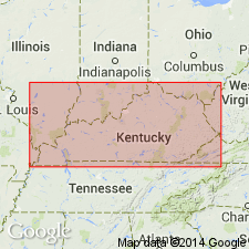
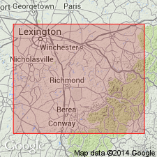
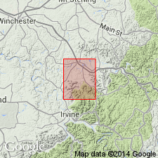
Named from Plum Creek, Powell Co., east-central KY.
Source: US geologic names lexicon (USGS Bull. 896, p. 1683); supplemental information from GNU records (USGS DDS-6; Reston GNULEX).
- Usage in publication:
-
- Plum Creek Clay Member
- Modifications:
-
- Revised
- AAPG geologic province:
-
- Cincinnati arch
Summary:
Reassigned as Plum Creek Clay Member of Noland Formation (new) of Crab Orchard Group. Consists of grayish-blue calcareous clay and thin interbeds of impure limestone, particularly in basal part. Thickness 4 to 7 ft. Underlies Oldham Limestone Member; overlies Brassfield Formation.
Source: GNU records (USGS DDS-6; Reston GNULEX).
- Usage in publication:
-
- Plum Creek Member*
- Modifications:
-
- Revised
- AAPG geologic province:
-
- Cincinnati arch
Summary:
Reassigned as Plum Creek Member of Crab Orchard Formation and adopted by the USGS.
Source: GNU records (USGS DDS-6; Reston GNULEX).
- Usage in publication:
-
- Plum Creek Shale Member*
- Modifications:
-
- Revised
- AAPG geologic province:
-
- Cincinnati arch
Summary:
Reassigned as Plum Creek Shale Member of Drowning Creek Formation of Crab Orchard Group and adopted by the USGS. Composed of greenish-gray, poorly fissile clay shale with few beds and lenses of dolomite. Ranges from 2 to 12 ft in thickness. Conformably underlain by Brassfield Member, conformably overlain by Oldham Member, both of Drowning Creek Formation.
Source: GNU records (USGS DDS-6; Reston GNULEX).
For more information, please contact Nancy Stamm, Geologic Names Committee Secretary.
Asterisk (*) indicates published by U.S. Geological Survey authors.
"No current usage" (†) implies that a name has been abandoned or has fallen into disuse. Former usage and, if known, replacement name given in parentheses ( ).
Slash (/) indicates name conflicts with nomenclatural guidelines (CSN, 1933; ACSN, 1961, 1970; NACSN, 1983, 2005, 2021). May be explained within brackets ([ ]).