The National Geologic Map Database is migrating to a new infrastructure. We apologize for any service disruptions during this process.
|
|---|


- Usage in publication:
-
- Platte series
- Modifications:
-
- Original reference
- Dominant lithology:
-
- Shale
- Sandstone
- Limestone
- AAPG geologic province:
-
- Many basins
Summary:
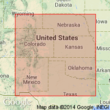
Platte series. Upper Cretaceous series of the Plains, into which shales and sandstones more largely enter than in Comanche or Lower Cretaceous series, but which also has some important limestone formations. Includes Dakota, Benton, Niobrara, Fort Pierre, Fox Hills, and Laramie. Area of typical occurrence that segment of North American Interior Plateau which extends from Rocky Mountains eastward and constitutes the higher portion of the Plains.
Named from Platte River, which in CO and NE, cuts all divisions of the series.
Source: US geologic names lexicon (USGS Bull. 896, p. 1678).
For more information, please contact Nancy Stamm, Geologic Names Committee Secretary.
Asterisk (*) indicates published by U.S. Geological Survey authors.
"No current usage" (†) implies that a name has been abandoned or has fallen into disuse. Former usage and, if known, replacement name given in parentheses ( ).
Slash (/) indicates name conflicts with nomenclatural guidelines (CSN, 1933; ACSN, 1961, 1970; NACSN, 1983, 2005, 2021). May be explained within brackets ([ ]).