The National Geologic Map Database is migrating to a new infrastructure. We apologize for any service disruptions during this process.
|
|---|


- Usage in publication:
-
- Pismo formation*
- Modifications:
-
- Named
- Dominant lithology:
-
- Shale
- Diatomite
- Sandstone
- Conglomerate
- AAPG geologic province:
-
- California Coast Ranges province
Summary:
Named for exposures at town of Pismo, San Luis Obispo Co, CA. Consists of siliceous shale, diatomaceous earth, and thick beds of soft sandstone with a member of sandstone and conglomerate in lower part. Thickness is about 3,000 ft. Occurs in southern part of San Luis quad. Is considered to be contemporaneous with Santa Margarita formation in northern part of area, though the two formations are not known to have been connected. Unconformably underlies Paso Robles formation; unconformably overlies Monterey shale. Is late Miocene age.
Source: GNU records (USGS DDS-6; Menlo GNULEX).
- Usage in publication:
-
- Pismo formation*
- Modifications:
-
- Age modified
- Biostratigraphic dating
- AAPG geologic province:
-
- California Coast Ranges province
Summary:
Scarcely contains any well-preserved megafossils. Is mainly Pliocene and partly late Miocene in age based on microfossils.
Source: GNU records (USGS DDS-6; Menlo GNULEX).

- Usage in publication:
-
- Pismo Formation*
- Modifications:
-
- Revised
- AAPG geologic province:
-
- California Coast Ranges province
Summary:
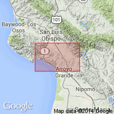
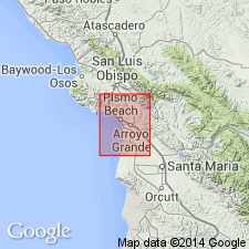
Members named by Hall (1973a) are adopted (ascending): Edna and Miguelito (Miocene and Pliocene age), Gragg, Belleview, and Squire (Pliocene age) as shown on geologic map of Morro Bay South and Port San Luis 7.5' quads, San Luis Obispo Co, CA.
Source: GNU records (USGS DDS-6; Menlo GNULEX).
- Usage in publication:
-
- Pismo Formation
- Modifications:
-
- Revised
- AAPG geologic province:
-
- California Coast Ranges province
Summary:
Divided into (ascending): Edna Member (late Miocene and early Pliocene age), Miguelito Member (late Miocene and early Pliocene age), Gragg Member (late Pliocene age), Belleview Member (late Pliocene age), and Squire Member (late Pliocene age) (all new). Names were tentatively proposed in field guidebook (Hall and Surdan, 1967). Ages are based on included fossils and stratigraphic relations.
Source: GNU records (USGS DDS-6; Menlo GNULEX).
For more information, please contact Nancy Stamm, Geologic Names Committee Secretary.
Asterisk (*) indicates published by U.S. Geological Survey authors.
"No current usage" (†) implies that a name has been abandoned or has fallen into disuse. Former usage and, if known, replacement name given in parentheses ( ).
Slash (/) indicates name conflicts with nomenclatural guidelines (CSN, 1933; ACSN, 1961, 1970; NACSN, 1983, 2005, 2021). May be explained within brackets ([ ]).