

- Usage in publication:
-
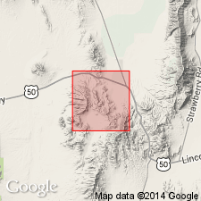
- Pinto Peak rhyolite*
- Modifications:
-
- First used
- AAPG geologic province:
-
- Great Basin province
Summary:
First use of the Pinto Peak rhyolite. Age is Tertiary.
Source: GNU records (USGS DDS-6; Menlo GNULEX).
- Usage in publication:
-
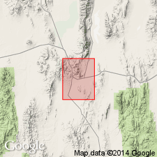
- Pinto Peak Rhyolite*
- Modifications:
-
- Named
- Dominant lithology:
-
- Rhyolite
- Tuff
- Breccia
- AAPG geologic province:
-
- Great Basin province
Summary:
Unit is named the Pinto Peak Rhyolite. Is divided into (ascending): lithic breccia exposed on west side of Dale Canyon, Pinto Basin Tuff Member, intrusive rhyolite domes, vitrophyre and vent breccias, rhyolite flows and dikes, Sierra Springs Tuff Member. Consists of lithic breccias, flows, tuffs, vitrophyres, welded ash-flow tuff, and intrusive domes and dikes. Unconformably overlies the Ratto Spring Rhyodacite. Age is Oligocene. (B1520)
Source: GNU records (USGS DDS-6; Menlo GNULEX).
For more information, please contact Nancy Stamm, Geologic Names Committee Secretary.
Asterisk (*) indicates published by U.S. Geological Survey authors.
"No current usage" (†) implies that a name has been abandoned or has fallen into disuse. Former usage and, if known, replacement name given in parentheses ( ).
Slash (/) indicates name conflicts with nomenclatural guidelines (CSN, 1933; ACSN, 1961, 1970; NACSN, 1983, 2005, 2021). May be explained within brackets ([ ]).