The National Geologic Map Database is migrating to a new infrastructure. We apologize for any service disruptions during this process.
|
|---|


- Usage in publication:
-
- Pinesburg Station dolomite*
- Modifications:
-
- Named
- Dominant lithology:
-
- Dolomite
- AAPG geologic province:
-
- Appalachian basin
Summary:
Named Pinesburg Station dolomite for Pinesburg Station, Washington, Co., MD. Unit is a succession of dolomites overlying the Rockdale Run formation and underlying the Row Park limestone. Formation averages about 450 feet thick and the top of the Pinesburg Station is placed at the base of the lowest limestone bed in the overlying Row Park. The lack of fossils in this unit makes it difficult to date, however, correlation to sections in PA suggest that the Lower-Middle Ordovician boundary is near the top of the Pinesburg Station dolomite and is therefore tentatively placed at the top of the formation.
Source: GNU records (USGS DDS-6; Reston GNULEX).
- Usage in publication:
-
- Pinesburg Station Dolomite
- Modifications:
-
- Areal extent
- AAPG geologic province:
-
- Appalachian basin
Summary:
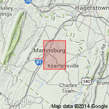
Geographically extended Pinesburg Station Dolomite of the Beekmantown Group to eastern panhandle of West Virginia.
Source: GNU records (USGS DDS-6; Reston GNULEX).
- Usage in publication:
-
- Pinesburg Station Dolomite
- Modifications:
-
- Areal extent
- AAPG geologic province:
-
- Appalachian basin
Summary:
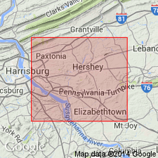
Geographically extended the Pinesburg Station Dolomite into south-central Pennsylvania.
Source: GNU records (USGS DDS-6; Reston GNULEX).
- Usage in publication:
-
- Pinesburg Station Dolomite
- Modifications:
-
- Areal extent
- AAPG geologic province:
-
- Appalachian basin
Summary:
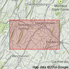
Geographically extended the Pinesburg Station Dolomite of the Beekmantown Group into northern Virginia. Unit is predominantly a light-gray, fine-grained dolomite that weathers yellowish to drab gray with furrows "butcher-block structures" common. It grades into limestones to the south and is not identified in southern Clarke County. The Pinesburg Station ranges in thickness from 0-400 feet.
Source: GNU records (USGS DDS-6; Reston GNULEX).
- Usage in publication:
-
- Pinesburg Station Dolomite*
- Modifications:
-
- Age modified
- Biostratigraphic dating
- AAPG geologic province:
-
- Appalachian basin
Summary:
Age of the Pinesburg Station Dolomite is changed from Early Ordovician to Middle Ordovician (Whiterockian and Chazyan) based on conodonts.
Source: GNU records (USGS DDS-6; Reston GNULEX).
- Usage in publication:
-
- Pinesburg Station Formation*
- Modifications:
-
- Revised
- AAPG geologic province:
-
- Appalachian basin
Summary:
The Middle Ordovician Pinesburg Station Dolomite is revised to the Pinesburg Station Formation of the Beekmantown Group in this area of PA. The unit consists of dolomite, quartz rosettes, chert nodules, and limestone interbeds. Overlies the Rockdale Run Formation of Beekmantown Group, and underlies the Stones River Group.
Source: GNU records (USGS DDS-6; Reston GNULEX).

- Usage in publication:
-
- Pinesburg Station Dolomite*
- Modifications:
-
- Biostratigraphic dating
- AAPG geologic province:
-
- Appalachian basin
Summary:
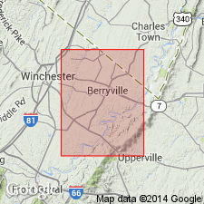
Conodont biostratigraphy indicates that the Pinesburg Station Dolomite of the Beekmantown Group in the Winchester 30 X 60 minute quadrangle is of early Middle Ordovician (Whiterockian) age. Conodonts were recovered from the upper half of the formation and are included in the H. HOLODENTATA through the C. FRIENDSVILLENSIS Zones.
Source: GNU records (USGS DDS-6; Reston GNULEX).
For more information, please contact Nancy Stamm, Geologic Names Committee Secretary.
Asterisk (*) indicates published by U.S. Geological Survey authors.
"No current usage" (†) implies that a name has been abandoned or has fallen into disuse. Former usage and, if known, replacement name given in parentheses ( ).
Slash (/) indicates name conflicts with nomenclatural guidelines (CSN, 1933; ACSN, 1961, 1970; NACSN, 1983, 2005, 2021). May be explained within brackets ([ ]).