- Usage in publication:
-
- Pigeon slate*
- Modifications:
-
- Original reference
- Dominant lithology:
-
- Slate
- Sandstone
- AAPG geologic province:
-
- Appalachian basin
- Piedmont-Blue Ridge province
Summary:
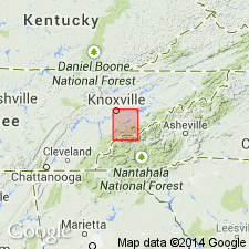
Pg. 2. Pigeon slate. Slate, of great uniformity, bluish-gray when fresh, but weathers dull yellow. Mainly argillaceous, occasionally banded by thin seams of coarser siliceous material. A few thin beds of fine white sandstone occur at various parts of formation, notably toward top. Thickness 1,300 to 1,700 feet. Overlies Citico conglomerate and underlies Cades conglomerate. Age is Early Cambrian. [Equivalent to upper part of Hiwassee slate.]
[Named from exposures near West Fork of Little Pigeon River, Sevier Co., eastern TN. Extends into western NC.]
Source: US geologic names lexicon (USGS Bull. 896, p. 1658).
- Usage in publication:
-
- Pigeon siltstone*
- Modifications:
-
- Revised
- Age modified
- AAPG geologic province:
-
- Appalachian basin
- Piedmont-Blue Ridge province
Summary:
Revised as Pigeon siltstone of Ocoee series. Represents Hurricane graywacke of Stose and Stose (1946). Revised also to include rocks exposed in drainage areas of West, Middle, and East Forks of Little Pigeon River based on Keith's (1895) description of occurrences in drainage of Little Pigeon River. Occurs north of Great Smoky Mountains; Nantahala represents correlative rocks in the mountains. Age is later Precambrian.
Source: GNU records (USGS DDS-6; Reston GNULEX).
- Usage in publication:
-
- Pigeon siltstone*
- Modifications:
-
- Principal reference
- Revised
- AAPG geologic province:
-
- Appalachian basin
- Piedmont-Blue Ridge province
Summary:
Revised as formation in Snowbird group of Ocoee series for rocks north of and below Greenbrier fault. Type section designated as along Little Pigeon River between Richardson Cove and Pittman Center, Sevier Co., eastern TN. Crops out in a wide band across northern foothills of Great Smoky Mountains from Gatlinburg eastward. Also well exposed along Pigeon River northwest of Waterville. It is not represented in Snowbird group farther south because it disappears by intertonguing with underlying Roaring Fork sandstone. Contact with Roaring Fork is placed at highest sandstone bed of Roaring Fork. Pigeon is overlain by Rich Butt sandstone and other unclassified formations.
Source: GNU records (USGS DDS-6; Reston GNULEX).
- Usage in publication:
-
- Pigeon Siltstone
- Modifications:
-
- Areal extent
- AAPG geologic province:
-
- Appalachian basin
Summary:
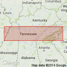
In Unaka Mountains, used as Precambrian Pigeon Siltstone of Snowbird Group of Ocoee Supergroup.
Source: GNU records (USGS DDS-6; Reston GNULEX).
- Usage in publication:
-
- Pigeon Siltstone
- Modifications:
-
- Areal extent
- AAPG geologic province:
-
- Piedmont-Blue Ridge province
Summary:
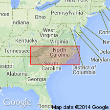
In Blue Ridge belt, used as Late Proterozoic Pigeon Siltstone of Snowbird Group of Ocoee Supergroup.
Source: GNU records (USGS DDS-6; Reston GNULEX).
For more information, please contact Nancy Stamm, Geologic Names Committee Secretary.
Asterisk (*) indicates published by U.S. Geological Survey authors.
"No current usage" (†) implies that a name has been abandoned or has fallen into disuse. Former usage and, if known, replacement name given in parentheses ( ).
Slash (/) indicates name conflicts with nomenclatural guidelines (CSN, 1933; ACSN, 1961, 1970; NACSN, 1983, 2005, 2021). May be explained within brackets ([ ]).

