The National Geologic Map Database is migrating to a new infrastructure. We apologize for any service disruptions during this process.
|
|---|


- Usage in publication:
-
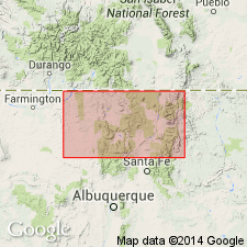
- Picuris basalts
- Modifications:
-
- Named
- Dominant lithology:
-
- Basalt
- Andesite
- AAPG geologic province:
-
- Southern Rocky Mountain region
Summary:
Name applied to a series of basalt and andesite flows that occurs interspersed with sedimentary schist of Hopewell series (new) in Picuris area. Basalt bodies also occur in Ortega quartzite (new). Best exposure is near mouth of Picuris canyon, secs 24 and 25, T23N, R11E, Taos Co, NM, in the Southern Rocky Mountain region. Not shown separately on geologic map. Neither source of name nor type locality designated. The dark hornblende schists of Hopewell may belong to Picuris, but schistosity has destroyed their original textures. Plagioclase phenocrysts in basalts near the mouth of Picuris canyon are oriented parallel to flows and show flow-banded structure. Is one half a mile thick in Picuris canyon. Is intruded there by numerous aplite dikes probably from Dixon granite (new). In places inclusions of white quartz present. Of Proterozoic age.
Source: GNU records (USGS DDS-6; Denver GNULEX).
For more information, please contact Nancy Stamm, Geologic Names Committee Secretary.
Asterisk (*) indicates published by U.S. Geological Survey authors.
"No current usage" (†) implies that a name has been abandoned or has fallen into disuse. Former usage and, if known, replacement name given in parentheses ( ).
Slash (/) indicates name conflicts with nomenclatural guidelines (CSN, 1933; ACSN, 1961, 1970; NACSN, 1983, 2005, 2021). May be explained within brackets ([ ]).