- Usage in publication:
-
- Picture Gorge basalt
- Modifications:
-
- Named
- Dominant lithology:
-
- Basalt
- AAPG geologic province:
-
- Blue Mountains province
- Columbia basin
Summary:
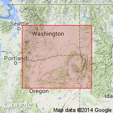
Divided the Columbia River basalt into two varieties with different chemistries: the Yakima and Picture Gorge (new) basalts. Named for exposures at Picture Gorge, Grant Co, OR where type section is designated [no other locality information]. Occurs in northwest OR, southeast WA, and western ID. Same rocks called "Columbia Lava" by Merriam (1901) in the John Day basin. Most flows holocrystalline; some fine-grained. Contains some pale brown glass and phenocrysts of plagioclase, pyroxene, and olivine. Alters to greasy or waxy appearance; weathers to grus. No transitional flows with overlying Yakima basalt. At type locality, 14 flows about 720 ft unconformably overlie John Day Formation (here Oligocene and early Miocene) and are overlain by Miscall Formation (here middle and late Miocene); thus assigned to early or middle Miocene.
Source: GNU records (USGS DDS-6; Menlo GNULEX).

- Usage in publication:
-
- Picture Gorge Basalt*
- Modifications:
-
- Revised
- Age modified
- AAPG geologic province:
-
- Columbia basin
Summary:
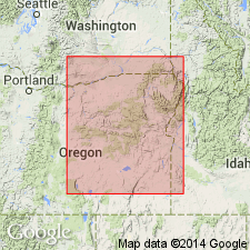
Picture Gorge Basalt as defined by Waters (1961) is assigned to the Columbia River Group. In northwest part of quadrangle, fissure flows of Picture Gorge Basalt are overlain by other flows regarded as Yakima Basalt by Waters (1961). Age is middle Miocene through early Pliocene, but is older than Mascall Formation, which has late Miocene fossil leaves.
Source: Modified from GNU records (USGS DDS-6; Menlo GNULEX).

- Usage in publication:
-
- Picture Gorge Basalt*
- Modifications:
-
- Geochronologic dating
- Paleomagnetics
- AAPG geologic province:
-
- Blue Mountains province
Summary:
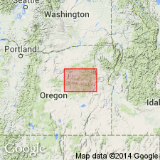
K-Ar (whole rock) age of type section of Picture Gorge Basalt is 14.6 to 15.8 Ma with a mean of 15.2 +/-0.6 Ma. Section features the Picture Gorge R and N magnetozones.
Source: GNU records (USGS DDS-6; Menlo GNULEX).

- Usage in publication:
-
- Picture Gorge Basalt*
- Modifications:
-
- Revised
- Areal extent
- AAPG geologic province:
-
- Eastern Columbia basin
Summary:
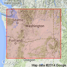
Pg. G12-G15. Picture Gorge Basalt of Columbia River Basalt Group. Geographically restricted to north-central Oregon; geographically restricted from northeastern Oregon and southeastern Washington, where its rocks are reassigned to older Imnaha Basalt (newly adopted). Unconformably overlies John Day Formation or Imnaha Basalt; conformably underlies Mascall Formation or Grande Ronde Basalt (newly adopted). May be divisible into three mappable, informally named units: basalt of Twickenham, basalt of Monument Mountain, and basalt of Dayville. All 3 described. Age changed from middle Miocene --to-- early Miocene. K-Ar dating of rocks at type suggests the formation is about 15.2 +/-0.6 Ma, and a range of dates from 14.6 to 15.8 Ma (citing Watkins and Baksi, 1974, Amer. Jour. Sci., v. 274, p. 148-189).
Reference localities: (1) on Monument Mountain, in S/2 sec. 19, T. 8 S., R. 28 E., Monument quadrangle; and (2) along Holmes Creek Road, in secs. 4, 5, and 9, T. 10 S., R. 26 E., Picture Gorge quadrangle.
Source: Publication; Changes in stratigraphic nomenclature, 1979 (USGS Bull. 1502-A, p. A55); GNU records (USGS DDS-6; Denver GNULEX).
For more information, please contact Nancy Stamm, Geologic Names Committee Secretary.
Asterisk (*) indicates published by U.S. Geological Survey authors.
"No current usage" (†) implies that a name has been abandoned or has fallen into disuse. Former usage and, if known, replacement name given in parentheses ( ).
Slash (/) indicates name conflicts with nomenclatural guidelines (CSN, 1933; ACSN, 1961, 1970; NACSN, 1983, 2005, 2021). May be explained within brackets ([ ]).

