- Usage in publication:
-
- Picabo Formation*
- Modifications:
-
- Named
- Dominant lithology:
-
- Sandstone
- Dolomite
- Conglomerate
- AAPG geologic province:
-
- Snake River basin
Summary:
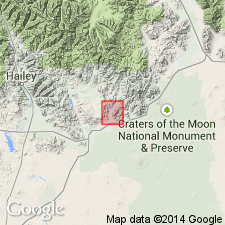
Named for the town of Picabo about 15 mi southwest of the Fish Creek Reservoir, Blaine Co, ID in the Snake River basin. Type section measured in NE1/4 sec 10, T1N, R22E where Picabo overlies Jefferson Formation and underlies Copper Basin Formation. Lower contact is covered; upper contact is a thrust fault. Is 189+ ft thick at type where it consists of: 1) lower gray, fine-grained, laminated, quartzitic sandstone interbedded with laminated sandy gray dolomite; 2) middle interbedded dolomite conglomerate and dolomitic sandstone; and 3) upper gray to red, very fine to fine-grained, thin-bedded, calcareous sandstone. The conglomerate is gray to yellow brown, of well-rounded to tabular pebbles with diameters as large as 5 in, derived from underlying Jefferson or from Carey Dolomite (new). Is nonfossiliferous. Presumed to be very late Devonian because of stratigraphic position. Geologic map, columnar section. Is a shelf-facies rock.
Source: GNU records (USGS DDS-6; Denver GNULEX).

- Usage in publication:
-
- Picabo Formation*
- Modifications:
-
- Areal extent
- AAPG geologic province:
-
- Idaho Mountains province
Summary:
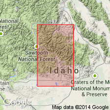
Extended into the structural Dry Canyon window in northeastern part of Hailey 1 X 2 deg quad, Custer Co, ID, Idaho Mountains province. Overlies Jefferson Formation; upper contact is a fault [shown on geologic map (fig. 2) to be in contact with Mississippian Copper Basin Formation]. Devonian age.
Source: GNU records (USGS DDS-6; Denver GNULEX).
For more information, please contact Nancy Stamm, Geologic Names Committee Secretary.
Asterisk (*) indicates published by U.S. Geological Survey authors.
"No current usage" (†) implies that a name has been abandoned or has fallen into disuse. Former usage and, if known, replacement name given in parentheses ( ).
Slash (/) indicates name conflicts with nomenclatural guidelines (CSN, 1933; ACSN, 1961, 1970; NACSN, 1983, 2005, 2021). May be explained within brackets ([ ]).

