


- Usage in publication:
-
- Peters Creek schist
- Modifications:
-
- Named
- Dominant lithology:
-
- Schist
- Quartzite
- AAPG geologic province:
-
- Piedmont-Blue Ridge province
Summary:
An upper member of Wissahickon formation that is less highly anamorphosed than the Wissahickon itself has been separated and named by the writers the Peters Creek schist. It may represent Harpers schist member of Mont Alto quartzite of central PA. Age is pre-Cambrian.
Source: GNU records (USGS DDS-6; Reston GNULEX).
- Usage in publication:
-
- Peters Creek Schist*
- Modifications:
-
- Revised
- Age modified
- AAPG geologic province:
-
- Piedmont-Blue Ridge province
Summary:
Name Peters Creek Quartzite changed to Peters Creek Schist. Age changed from late Precambrian(?), to Proterozoic Z and (or) Early Cambrian. Peters Creek redefined as a possible ophiolitic melange, tectonically underlying Yorkshire Formation (new name) and Piney Branch Complex (new name) (composite allochthon?), all three assembled on Sykesville Formation (now reinstated and redefined).
Source: GNU records (USGS DDS-6; Reston GNULEX).
- Usage in publication:
-
- Peters Creek Schist
- Modifications:
-
- Revised
- AAPG geologic province:
-
- Piedmont-Blue Ridge province
Summary:
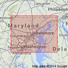
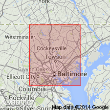
Peters Creek is assigned to Wissahickon Group in this report. Age of Wissahickon is uncertain and depends on structural interpretation. The following limits apply: Sykesville is younger than 520 my and Loch Raven and Morgan Run are older than 469 my. If rocks are in original stratigraphic order, then the Wissahickon is probably Ordovician. If the Wissahickon is thrusted over the Cockeysville, then the lower Wissahickon is Cambrian. Limits could be even wider. Wissahickon includes the Loch Raven Schist at its base, the Sykesville Formation, which is a diamictite to the southeast, the Morgan Run Formation and the Peters Creek Schist, which are both metagraywackes in the central region, and the Pleasant Grove Formation, a quartz schist, in the northwest.
Source: GNU records (USGS DDS-6; Reston GNULEX).
- Usage in publication:
-
- Peters Creek Formation
- Modifications:
-
- Revised
- AAPG geologic province:
-
- Piedmont-Blue Ridge province
Summary:
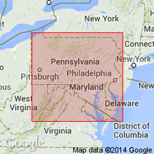
Authors demonstrate that Peters Creek Formation of southeast PA is of North American affinity and part of the Westminster terrane. Unit is described in the Susquehanna River drainage basin along the MD-PA state line. Peters Creek Formation is composed of metagraywacke and mica-chlorite schist (interpreted as metapelite) with lesser amounts of metaconglomerate, quartzite, and greenstone. Exposure measures 3,200 m thick from its northern contact with the Peach Bottom Formation at Peters Creek to its southern contact with the State-Line ultramafic complex. Interpreted as a proximal turbidite deposit with a Grenville basement source. May be northern and eastern continuation of the major Late Proterozoic/Cambrian rift basin in eastern North America. Intrusive ultramafic/mafic bodies are common in the Peters Creek Formation as in the Lynchburg Group.
Source: GNU records (USGS DDS-6; Reston GNULEX).
For more information, please contact Nancy Stamm, Geologic Names Committee Secretary.
Asterisk (*) indicates published by U.S. Geological Survey authors.
"No current usage" (†) implies that a name has been abandoned or has fallen into disuse. Former usage and, if known, replacement name given in parentheses ( ).
Slash (/) indicates name conflicts with nomenclatural guidelines (CSN, 1933; ACSN, 1961, 1970; NACSN, 1983, 2005, 2021). May be explained within brackets ([ ]).